Kyrenia Map: Old Town, Harbour and Sights by Area
Use this Kyrenia map guide to place the harbour, castle and old-town lanes, see how the areas connect and plan a walk that fits your day.
On this page
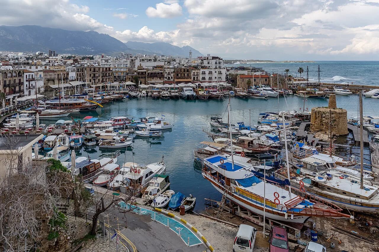
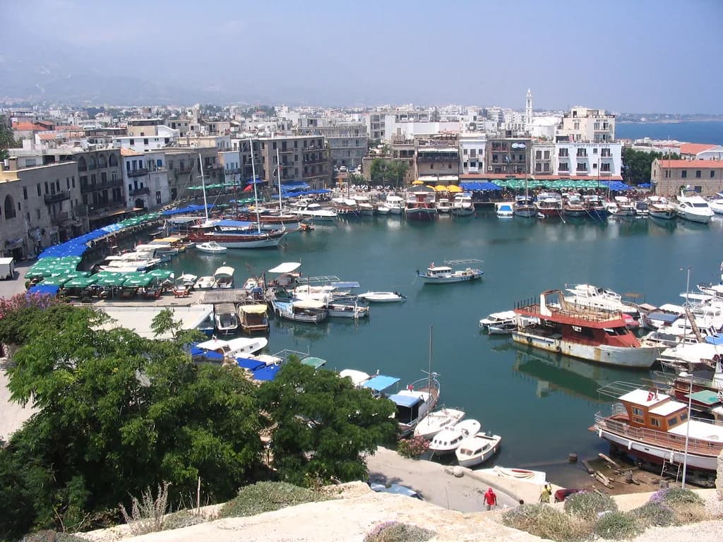
Kyrenia fits on one mental map: a small horseshoe harbour with a Byzantine castle facing it across the water, cobbled streets climbing behind, and the Five Finger Mountains as a backdrop to the town. Everything in the historic core sits within sight of the quay, so you can plan a half day on foot without a car. This guide arranges the place by area — harbour, castle, old-town lanes and the rising ground behind — and explains how the wider district relates to the centre.
Kyrenia, also called Girne, is on the northern coast of Cyprus. The tourist board describes a port with the castle of Byzantine origin set opposite the harbour wall, and buildings carrying Greek, Roman, French, Ottoman and British layers packed into the cobbled streets between. The town is small enough that orientation is about sequence rather than distance: harbour first, then castle, then the lanes climbing inland.
What the Kyrenia map shows at a glance
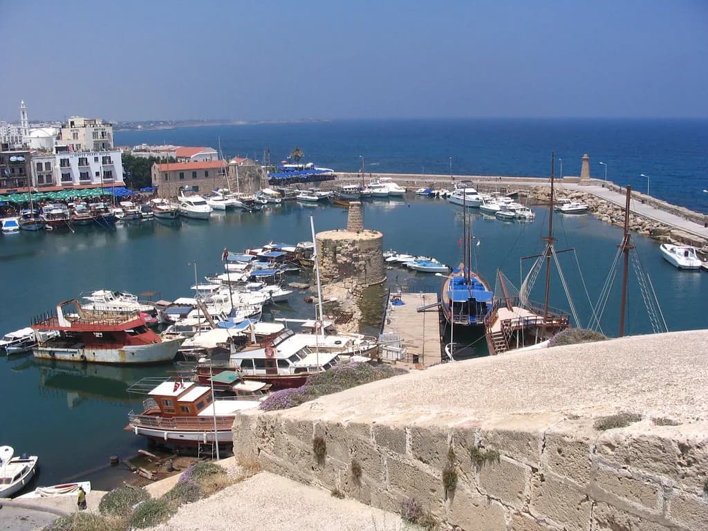
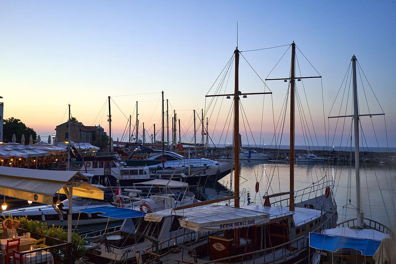
At the top of the map is sea. The harbour curves in a horseshoe, with the castle set opposite the harbour wall and quayside cafés, bars and restaurants lining the inner edge. Behind the quay, the old town rises on gentle ground, where the cobbles, narrow lanes and older buildings concentrate. Treat the harbour as the anchor point and the rest of the centre as rings around it, and you will rarely be far from a landmark you recognise.
The map also has a district layer. Kyrenia is the coastal centre of a wider district running beneath the Five Finger Mountains, with villages and sites strung along the coast and up the slopes. That means two scales: the compact walkable core and a spread-out hinterland where you need wheels or a bus. Keep both in view when planning, because a morning in the centre and an afternoon further out combine easily.
Harbour and castle: the natural starting point
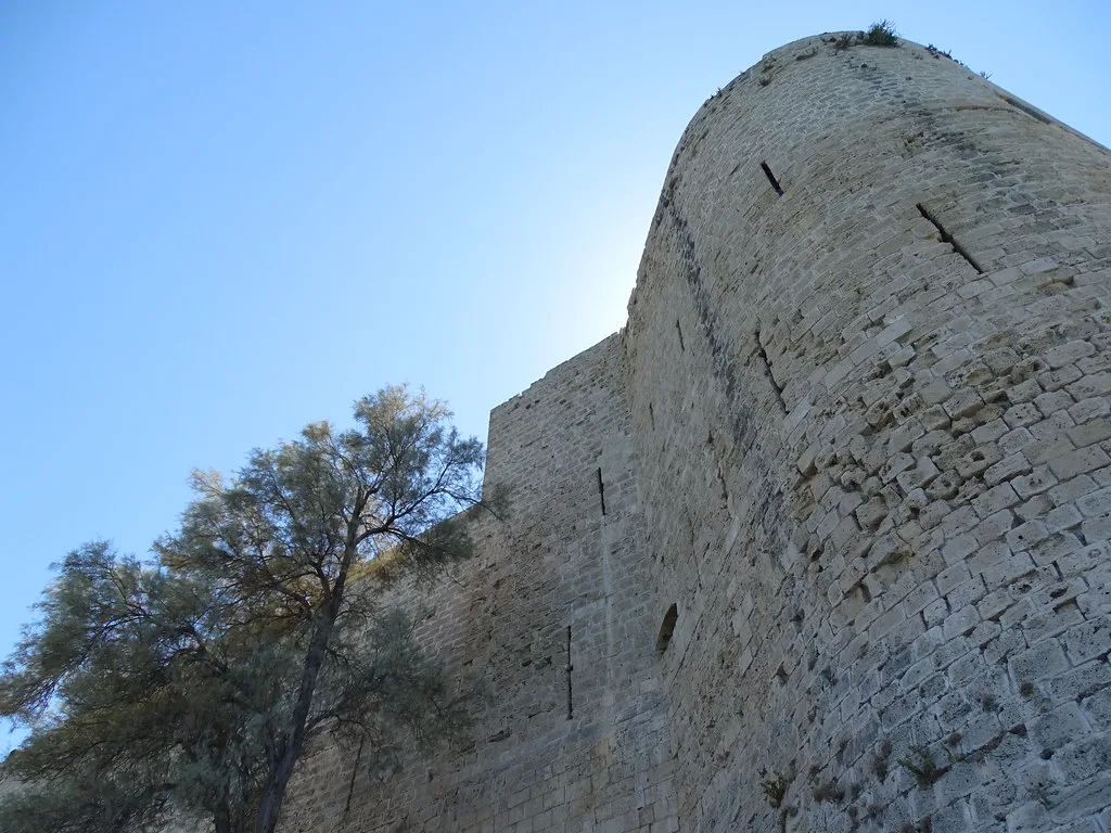
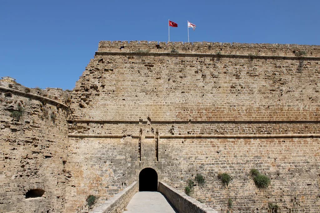
Start at the water. The harbour is the town's focal point, and the castle sits directly opposite the harbour wall, so you can see the two together before committing to either. The tourist board describes the citadel as once guarding the small bustling port and now providing the backdrop to the quayside cafés, bars and restaurants. You can orient yourself, look across at the walls and decide whether to go in.
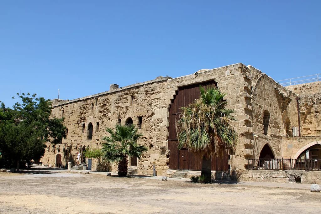
Inside, the castle holds artefacts from its past and rewards an unhurried visit rather than a quick photo stop from the quay. If you only have a short time, the harbour wall gives you the view of the walls without the entry.
The old town lanes behind the harbour
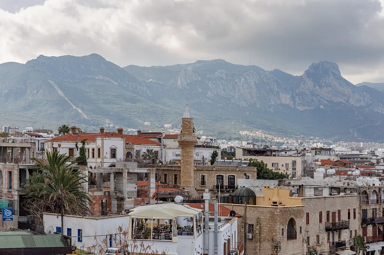
Turn your back on the water and the map changes character. The Kyrenia old town is a knot of cobbled streets where Greek, Roman, French, Ottoman and British traces overlap, described by the tourist board as tightly packed within the town's small harbour and cobbled lanes. This is the part that suits aimless wandering, with the harbour as the fixed point you return to whenever you lose your bearings.
On the map, the old town reads as a wedge widening inland from the quay. Expect the street pattern to bend around older buildings rather than run in a grid, so landmarks matter more than compass directions. Shopfronts, awnings and café tables narrow the lanes further. Walking is the sensible way round, but allow extra time for the cobbles underfoot and for the fact that the best stretch is often the one you did not plan.
Reading the map north to south
Give the map a vertical reading. Sea and quay sit at the bottom, at sea level, with the harbour curving through the middle and the old town on ground rising behind. Inland the land lifts toward the Five Finger Mountains, described by the tourist board as the verdant slopes backing the town. That layering explains why views open up as you climb: every few streets inland buys a wider look back over the harbour.
Practically, use the rise to pace your day. Do the flat water-level circuit first, then climb into the lanes, then pick a high point for a reset. In summer, do the climbing before the heat of the middle of the day and keep the waterfront for later. The town's compact scale is what makes that ordering work without any transport at all.
Kyrenia within the wider district
Zoom out and Kyrenia sits on Cyprus's northern coast, backed by the Five Finger Mountains, with the rest of North Cyprus spread east, west and inland from it. The tourist board frames the town as a port whose location combines clear water and coastline with the mountain slopes above. That landscape is why the district map looks the way it does: a coastal road threading settlements, and routes climbing inland from it.
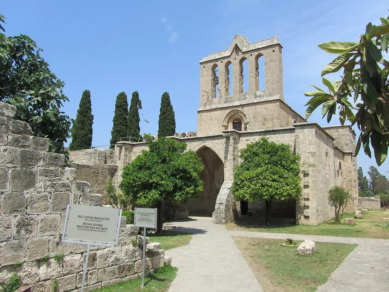
For a day out, treat Kyrenia as the hub and read the district in spokes. One spoke follows the coast, another climbs into the mountains. Bellapais is one of the inland villages beyond the town. A map that includes the district shows the scale honestly: the core is walkable, but anything outside it needs a car, a bus or a driver.
The harbour is the natural departure point for boat trips along the coast. What runs on a given day depends on the season and the weather; use the boat-trips guide to plan, and confirm sailing times, duration and price with the operator on the day.
Getting around the mapped area on foot
Within the harbour and old town, walking is the whole transport system. The quay, the castle entrance and the start of the cobbled lanes are close enough to see from one another, so you can move between them without thinking about the map at all. The cobbles slow you down in the lanes behind: uneven surfaces, tight corners and café furniture spilling into the street mean progress is slower than the map suggests.
Plan a loop rather than an out-and-back. Walk the harbour edge, cross to the castle side, then climb into the old town and come back down a different lane. That keeps the uphill stretch short and gives you harbour views on the descent. Leave the car where it is once you have found a space, because moving it between nearby sights costs more time than walking.
Arriving and moving on
Onward connections from Kyrenia are the coastal road and buses, and arrivals by air use the island's airports. Which airport you use and how you reach the town depends on your route in, so confirm transfers and timetables with the operator or your carrier before you travel, as they change between seasons.
Once the town's shape is clear, the next layer is what you actually want to see. Work through the things to do in Kyrenia by area so you do not spend the day crossing back and forth across your own map. The harbour, the castle and the old-town lanes are the fixed landmarks; the rest is a matter of matching places to the time you have.
How long does Kyrenia need on the map?
For the mapped core, half a day covers the harbour, the castle exterior and a wander through the old-town lanes; a full day adds the castle interior at an unhurried pace and time on the quay. The town rewards slowing down, because the distances are short and the main costs are heat and cobbles, not travel. Keep the wider district for a separate outing once you have the centre in your head.
Explore more Kyrenia guides
Frequently Asked Questions
Is Kyrenia walkable for a day?
Yes. The harbour, the castle and the old-town lanes sit together at the centre of town, so you can cover the historic core on foot. The cobbles slow you down in the lanes behind the quay, and the streets climb gently inland, so pace yourself and keep the flat waterfront for the hotter part of the day. For anything outside the town centre, plan on a car or a bus.
Where do I start a Kyrenia walking route?
Start at the horseshoe harbour, where the castle sits opposite the harbour wall and you can get your bearings before deciding whether to go inside. From there, climb into the old-town lanes and return to the water by a different street. That order keeps the uphill stretch short and gives you harbour views on the way back down.
Do I need a car to see Kyrenia's district?
The town core is small enough to explore without one, but the wider district under the Five Finger Mountains spreads out along the coast and inland. Villages such as Bellapais and destinations beyond the town are reached by road, so a car or a bus is the practical choice for a district day out. Confirm timetables with the operator before you travel if you are relying on buses.
Sources
Notes for your Cyprus trip
Optional updates to our Cyprus guides.
You might also like
Continue reading
More guides you'll find useful