Cyprus Map: Towns, Districts and the Green Line Explained
A Cyprus map shows one island with two administrations. See where the main towns, resorts, Troodos and the Green Line sit, and which bases cluster together.
On this page
A Cyprus map shows a single island divided into two administrations: the Republic of Cyprus in the south, which uses the euro, and the administration in the north beyond the Green Line. Almost every map you find will label the same places twice, so Kyrenia appears as Girne and Famagusta as Gazimağusa. This page explains how to read that map, where the main towns and mountain villages sit, and which bases you can realistically combine in one trip.
Two names, one island: how to read a Cyprus map
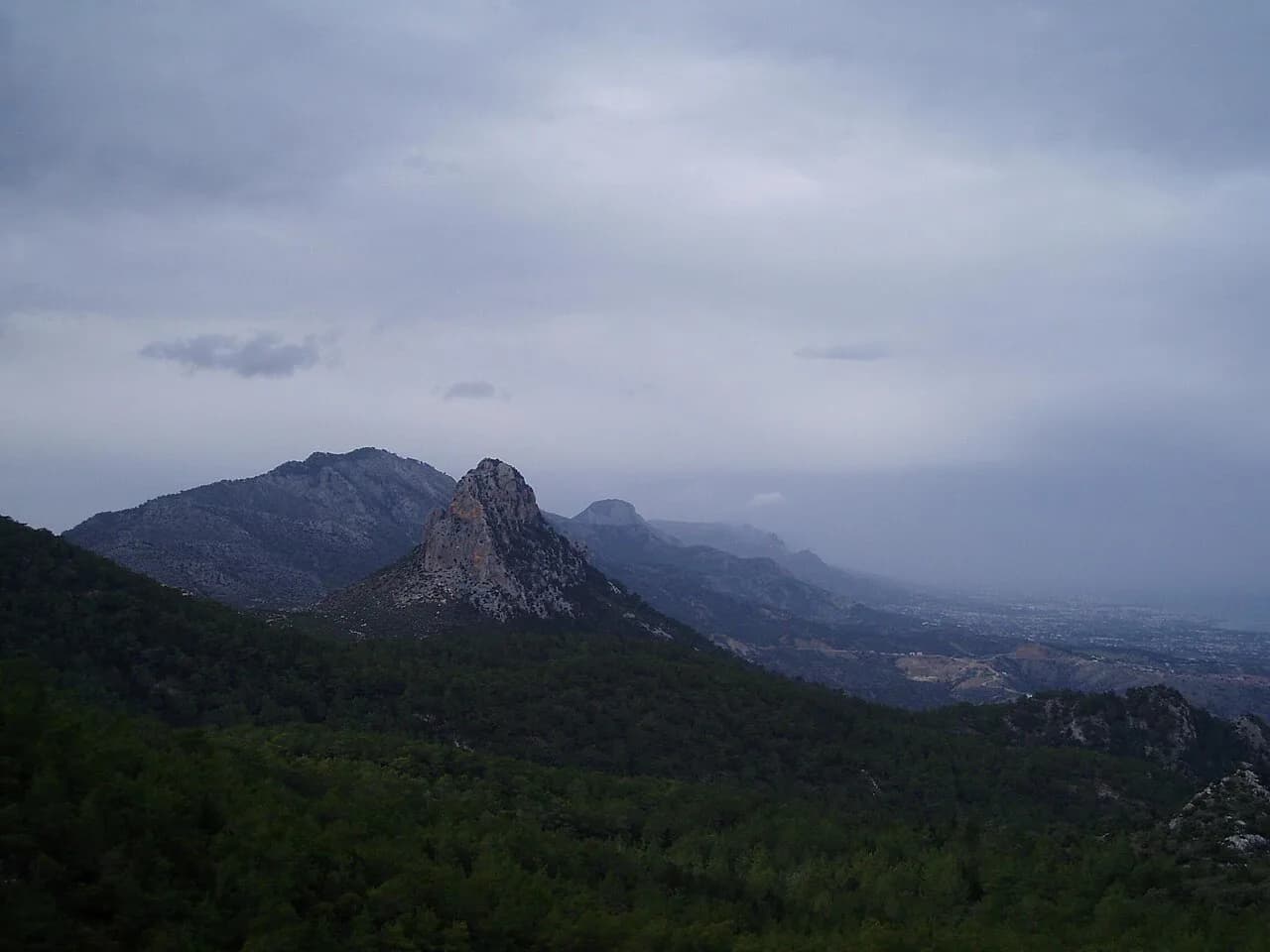
Maps of the island show the Kyrenia range running along the north coast and the Troodos massif filling the centre-west. Nothing is far in straight-line terms, but the interior is slow to cross. Printed and online maps often carry both Greek and Turkish names, so signs may say Kyrenia while your map says Girne; check both before you type a destination into a satnav.
A useful habit is to pick one map style and stick to it: either a Republic-side road map or an island-wide one that shows the Green Line clearly. Island-wide maps are better for a trip that crosses between the two halves, because a Republic-only map simply stops at the line. If you plan to stay south, a district map covers everything you need.
The Republic in the south: Larnaca, Limassol, Paphos and Nicosia
On a Cyprus map the southern Republic reads as four coast-and-capital anchors. Larnaca sits on the south-east coast and holds the larger of the Republic's two international airports, with more flights and rental-car options than Paphos, which serves the south-west. Limassol lies between them on the south coast, Nicosia sits inland at the centre as the capital, and Paphos is split into Ktima on the hill and the harbour district below.
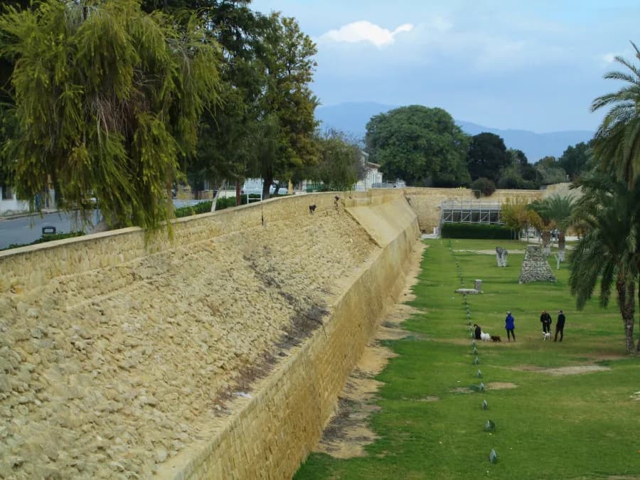
What is the largest city in Cyprus? Nicosia is the capital and sits inland at the middle of the map, enclosed within Venetian walls. Larnaca and Limassol are the main coastal cities of the south, and Limassol is the cosmopolitan port and resort between Larnaca and Paphos.
Is Cyprus under the UK? No. Cyprus is an independent Republic and an EU member, and the Republic uses the euro.
What type of climate does Cyprus have? Cyprus has a Mediterranean climate. The sea stays warm enough for a long diving season, with water temperatures given as roughly 16 to 27 degrees across most of the year on the official tourism portal, which is why the diving season stretches well beyond high summer.
Nicosia is the map's central hinge: from the capital you can reach the coast in any direction without crossing the mountains. Larnaca's seafront runs from Europe Square along the palm-lined Finikoudes promenade to the small medieval castle and the Kition ruins, all within a short walk of each other. For a wider menu of stopovers, the best places to visit in Cyprus spread across these four bases rather than clustering in one.
Paphos rewards a close reading of the map because the two halves of the town behave differently. Ktima is the upper town around the neoclassical town hall and Kennedy Square, while Kato Paphos holds the harbour, the medieval castle and the archaeological site with its Roman mosaics. The seafront promenade connects harbour and castle over roughly two kilometres of level walking.
The south's road network radiates from Nicosia and Limassol, which makes a coastal base sensible if you want short hops. Buses cover the main towns but thin out in rural areas, so a car pays off the moment your map pins include villages or minor archaeological sites. Compare options through Cyprus car hire before you commit to an airport pick-up, since collection points differ between Larnaca and Paphos.
The north on the map: Kyrenia/Girne, Famagusta/Gazimağusa and Nicosia/Lefkoşa
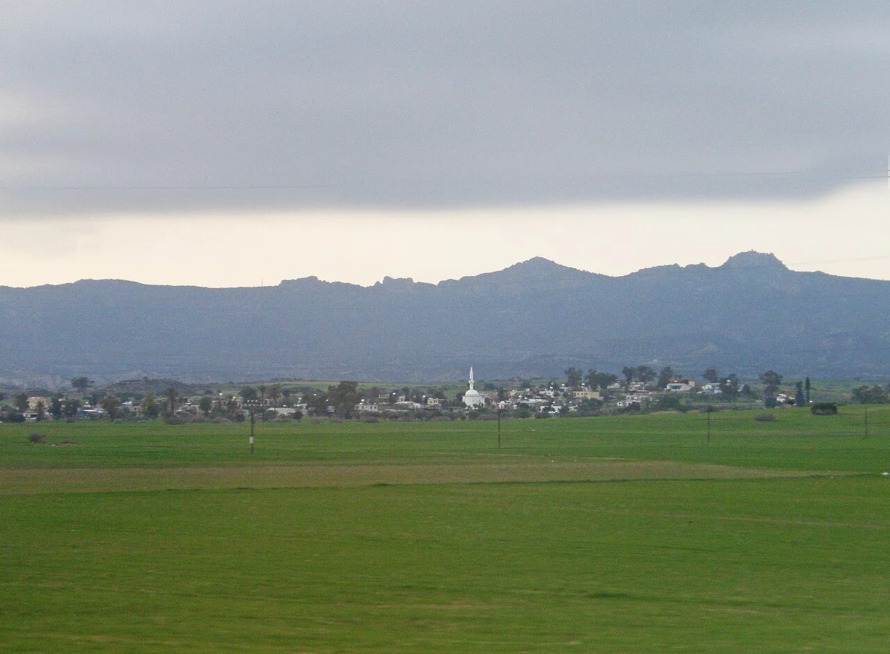
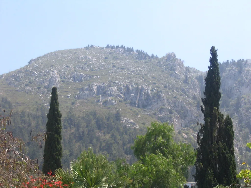
North of the line the map uses Turkish names: Kyrenia becomes Girne on the north coast below the Kyrenia range, Famagusta becomes Gazimağusa on the east coast, and the northern part of the capital is Lefkoşa. Kyrenia is the north's harbour town, with its castle at the old port and hills rising behind. Gazimağusa's walled old town and the Varosha district sit on the east.
Read the north as a narrow coastal strip backed by mountains. That geography explains why north-coast drives that look short on the map take longer on the ground: the coast road hugs the range and the mountain passes are winding. Treat the northern half of your map as a separate spending zone rather than assuming prices and services match those in the south.
Where the Green Line runs and which towns sit either side
The Green Line is the buffer zone that divides the island, and on a map it appears as a band running from the west coast through Nicosia and east towards Famagusta. It cuts the capital in two, and Ledra Street is the pedestrian crossing point most visitors use to walk between the southern and northern old towns. Crossing is a formal procedure at a checkpoint: check the current requirements before you travel.
Hire cars need attention here: insurance arranged for the Republic may not cover the north, and some policies exclude crossing entirely. Ask the rental company before you plan a route across the line, and keep the paperwork in the car.
Mountains and coast: Troodos inland, resorts on the south and east
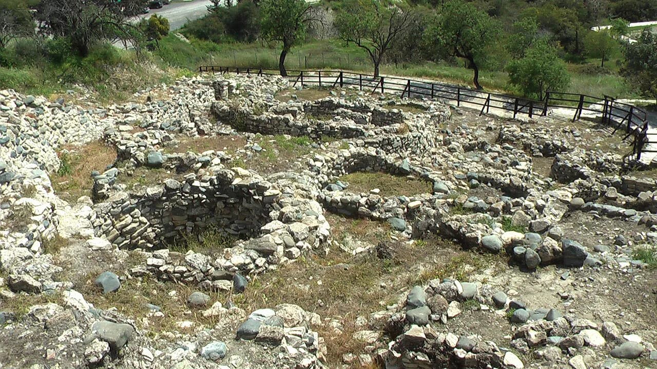
On the map, Troodos is the green mass in the centre-west, crowned by Mount Olympus and reached from Limassol past Lefkara's cobbled lace-making lanes and the Neolithic settlement at Choirokoitia. Troodos is where the island's painted churches and monasteries sit, and it is a different climate zone from the coast, so a mountain day needs a layer even in high summer.
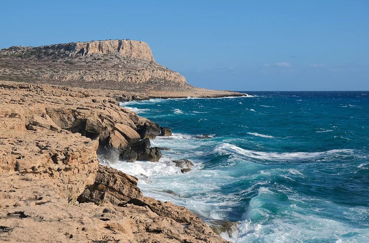
The eastern resorts of Ayia Napa and Protaras sit close together on the map, with Cape Greco national forest park at the south-east tip between them. Further west, the coastline running from Larnaca through Limassol towards Paphos carries most of the south's holiday development. For a sense of how these coastal bases compare, Cyprus resorts compared sets out the trade-offs before you pick a pin.
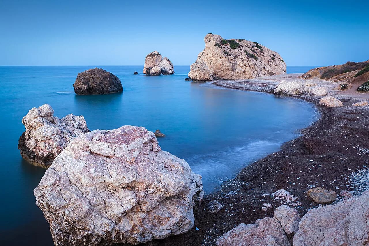
Paphos district also holds two of the map's notable coastal marks: Petra tou Romiou, the rock formation known as Aphrodite's Rock, on the coast road east of Paphos, and Coral Bay a short drive north-west of the town. Both fit naturally into a coastal day rather than a separate trip.
Which places cluster together for short drives
Grouping by map cluster saves more time than optimising individual routes. Larnaca, the airport and the Kition ruins form one tight cluster; Limassol, Kourion and Lefkara form a second; Paphos town, Kato Paphos and Petra tou Romiou form a third; and Ayia Napa with Protaras and Cape Greco form a fourth. Kyrenia and its castle, plus the hills behind it, work as a fifth if you are crossing the line.
Kourion deserves its own map note because it sits on a hillside above the coast west of Limassol, with the Sanctuary of Apollo Hylates a short drive further on. Pairing the two makes sense on the ground even though they appear as separate pins. A Cyprus itinerary that follows these clusters will spend less time in the car than one that hops between coasts.
Driving on the left and reading distances honestly
Cyprus drives on the left, which is second nature to visitors from the UK and Ireland and a constant adjustment for everyone else. Roundabouts and narrow village streets are where habits slip, so keep a mental note at junctions and let local traffic set the pace. The rules of the road, signage and insurance points are covered in more depth in the driving guide.
Map apps are optimistic about the interior: a mountain leg that reads as 45 minutes on screen can mean 45 minutes of curves and switchbacks, with brakes working harder than expected. Build slack into any day that crosses Troodos, and treat coastal times as more reliable than inland ones. A car small enough for village lanes will also park more easily at archaeological sites.
For a multi-base trip, sketch your route on paper first, then check the driving legs on the map rather than the other way round. A Cyprus road trip built around two or three clusters will feel calmer than one that circles the island.
Diving sites, wrecks and the map's offshore marks
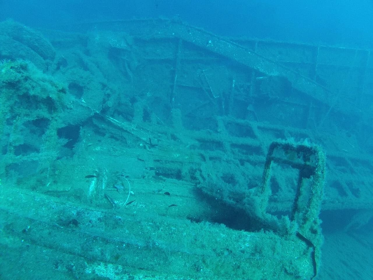
Some Cyprus maps add offshore labels that matter if you dive: the Amathus site near Limassol, the Amphora Cave and the Alexandra wreck all appear as named dive sites on the Visit Cyprus tourism portal, alongside other wrecks, caves and reefs around the island. Water temperatures there are given as roughly 16 to 27 degrees through most of the year, which explains the long season. Dive operators and certification requirements are listed by the same authority.
Which base does your map point to?
Choose your base from the cluster you most want to explore, not from the town with the biggest label. Larnaca or Limassol suits a south-coast trip with easy airport access, Paphos suits the west and its archaeological sites, and Kyrenia suits the north if you are crossing the line. Draw the line on your map first, then plan the days around it.
Explore more Cyprus guides
Frequently Asked Questions
What is the largest city in Cyprus?
Nicosia is the capital and sits inland at the middle of the map, enclosed within Venetian walls. Larnaca and Limassol are the main coastal cities of the south, and Limassol is the cosmopolitan port and resort between Larnaca and Paphos.
Is Cyprus under the UK?
No. Cyprus is an independent Republic and an EU member, and the Republic uses the euro.
What type of climate does Cyprus have?
Cyprus has a Mediterranean climate. The sea stays warm enough for a long diving season, with water temperatures given as roughly 16 to 27 degrees across most of the year on the official tourism portal, which is why the diving season stretches well beyond high summer.
Is Cyprus in Europe or Asia on the map?
Cyprus sits in the eastern Mediterranean, and is grouped with Europe politically and culturally as an EU member. On a physical map it reads as an eastern Mediterranean island close to the coast of Asia Minor and the Middle East.
Sources
Notes for your Cyprus trip
Optional updates to our Cyprus guides.
You might also like
Continue reading
More guides you'll find useful