Protaras Map: The Resort Strip, Fig Tree Bay, Pernera and Cape Greco
A Protaras map explained: the seafront strip, Fig Tree Bay, Pernera, Cape Greco and Paralimni, with distances, bus links and the nearest airport.
On this page
A Protaras map is best read as a line, not a grid. The resort is a modern stretch of hotels, apartments and restaurants built along the south-east coast, with the sea on one side and low limestone headlands and farmland on the other. Once you know which end you are at, the rest of the resort falls into place, so this guide lays out the seafront strip, Fig Tree Bay, Pernera and Kapparis, the Cape Greco headland and Paralimni behind it.
What a Protaras map actually shows
Protaras has no old walled core. Its built environment largely dates from the late twentieth-century expansion of tourism, and the town sits within the Paralimni area, a landscape shaped by farming and Orthodox village life before the hotels arrived. On a map that means a coastal band of development rather than a tight historic centre with gates.
The practical consequence is that your position along the coast matters more than your distance from a single main square. Accommodation clusters around the seafront avenue and Fig Tree Bay, thins out towards Pernera to the north, and stops where the Cape Greco headland closes the coast to the south. The Protaras guide covers the resort itself in more depth, while this page concentrates on how the pieces relate.
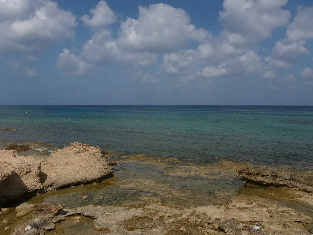
The seafront avenue and Fig Tree Bay: what sits where
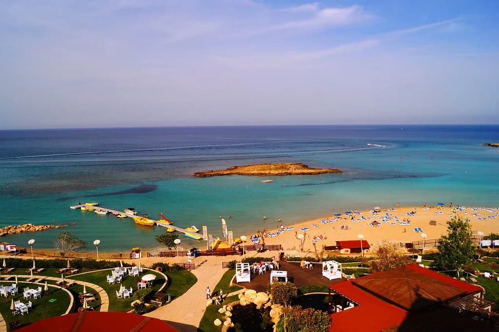
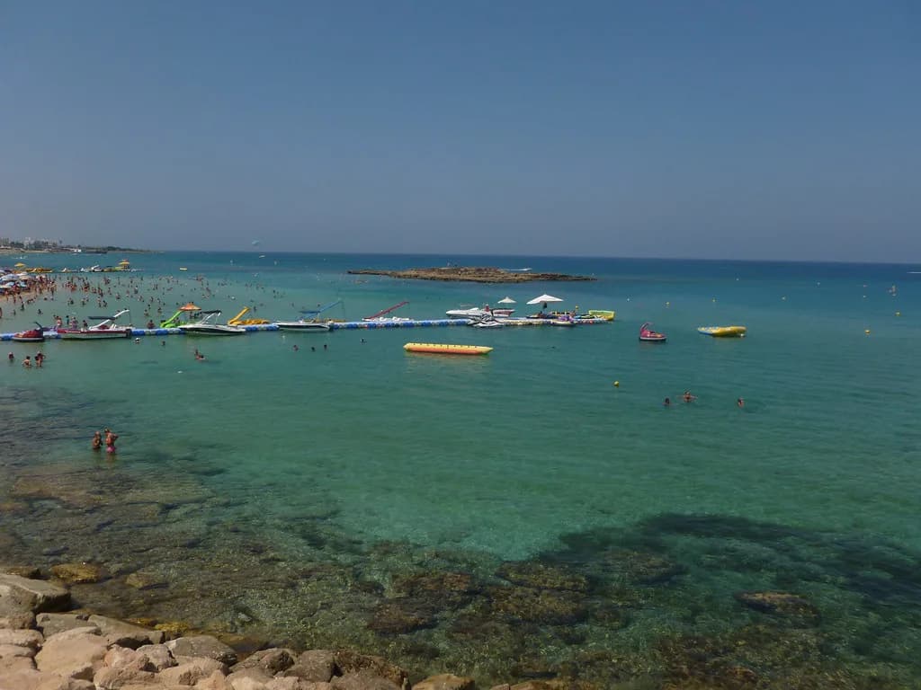
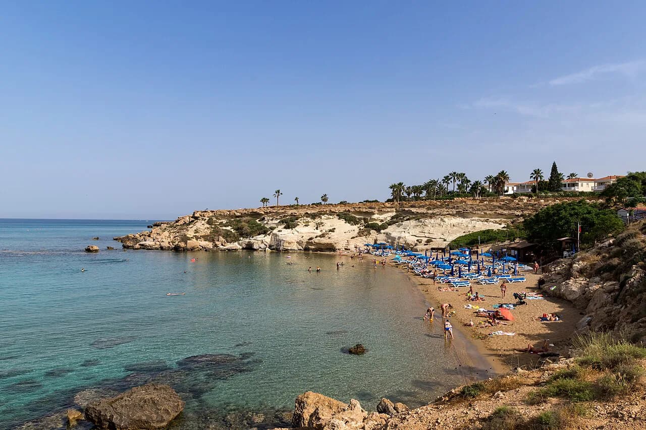
Fig Tree Bay anchors the centre of the resort. Its sheltered swimming area and small offshore islet have become the emblem of Protaras, with restaurants, cafes and shops packed close behind the sand. Almost everything you need on foot is within a short walk of this stretch.
The main seafront avenue runs behind the beaches and carries most of the resort's hotels, apartments and evening activity. In the evenings it settles into an easy rhythm of family restaurants, cafes and seasonal entertainment, while the promenade paths trace the shore for swimmers and walkers. If you are choosing between addresses, being within walking distance of Fig Tree Bay is the single most useful map decision you will make.
Pernera and Kapparis to the north
North of the main resort, Pernera offers a somewhat quieter seafront atmosphere, still within the Protaras orbit but calmer in the evenings. It suits travellers who want the coast without the busiest part of the strip on the doorstep, and it keeps you close to the beaches and paths that run towards the resort centre.
Kapparis lies further north up the same coast, roughly six kilometres from Protaras, and has grown from a small village into a resort in its own right with sandy coves among its draws. Its position also puts Paralimni town within easy reach behind the coast, which is useful for everyday shopping rather than beach time.
Paralimni is the market town at the back of the resort, and it appears on any map of the area as the inland reference point for the whole Protaras coast. Administrative services, larger shops and year-round life concentrate here, while the resort strip empties out of season. Use it as your practical anchor when you need something beyond beach and hotel.
Cape Greco and the coast road south
Cape Greco closes the resort at its southern end and reads on a map as the headland beyond the last hotels, not as a separate excursion. The national forest park brings sea caves, juniper-covered cliffs and walking trails into the day, and the land between Paralimni and Ayia Napa stays rugged all the way round.
South of the cape, the coast road continues towards Ayia Napa, which sits within easy reach for an evening or a change of scene. The resort therefore works both as a beach base and as a gateway to the coast between Paralimni and Ayia Napa. Expect the headland to be the breezier, wilder end of the map and the resort centre to be the busiest.
Boat trips leave from several points along this coast, including Fig Tree Bay, Green Bay, Konnos Beach and Sunrise Beach, with glass-bottom trips around the headland among the options listed by operators. Departure points scatter along the shore rather than concentrating in one harbour, so check where your trip actually starts before booking.
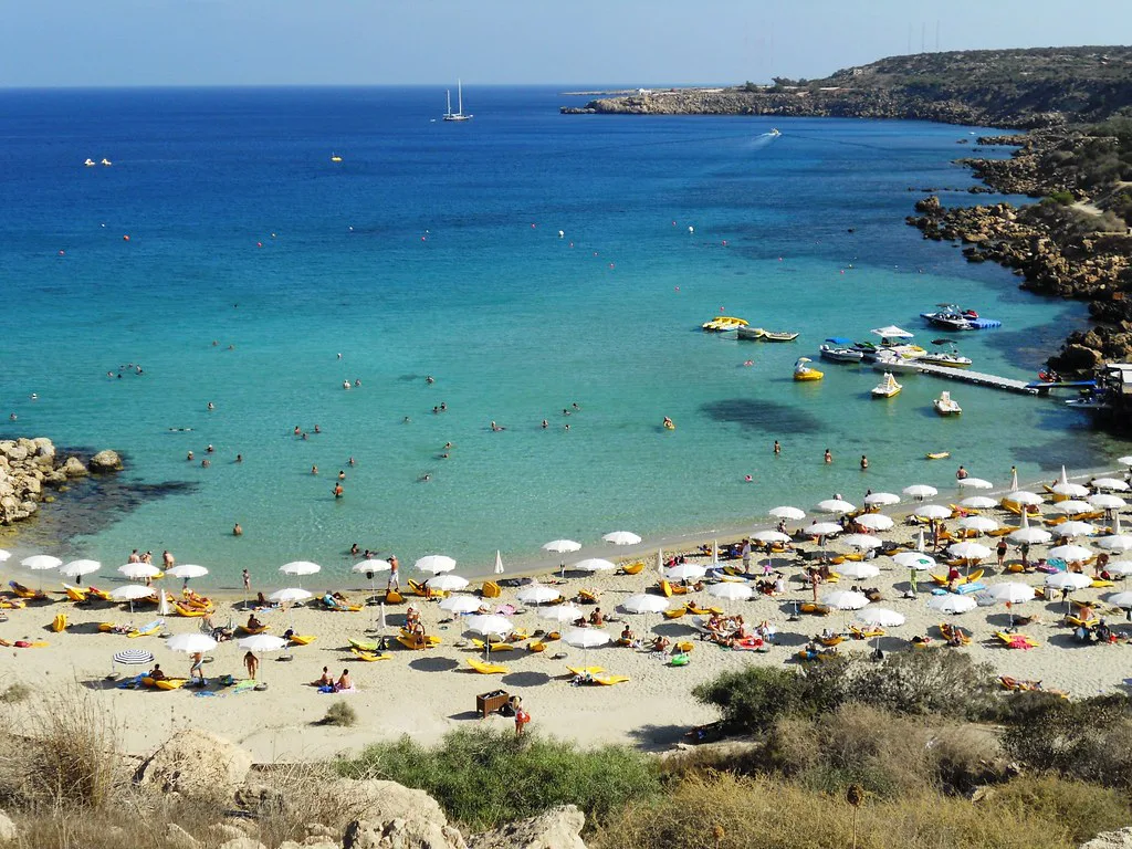
Profitis Elias church: the orientation landmark
The small Church of Profitis Elias stands on a rocky hill above the resort and is the one landmark visible from much of the Protaras coast. On a map it sits inland of the seafront, between the beach strip and the town side, which makes it a reliable way to work out which way you are facing. Visiting early or late in the day brings cooler temperatures and broad views across the coast.
Where Larnaca airport sits and how the transfer works
Most international visitors reach Protaras through Larnaca International Airport, the principal airport for south-eastern Cyprus, which lies outside the town rather than on its edge. The onward journey is normally made by taxi, pre-arranged transfer, hire car or bus connections through the wider Famagusta and Paralimni area. Because the airport is not adjacent, build the transfer into your arrival plan rather than assuming a short hop.
Package operators sell Protaras as a fly-and-stay destination with flights included, which explains why so much of the accommodation appears on holiday-booking sites rather than in town-centre listings. If you are booking a package, check what the fare includes; if you are travelling independently, arrange the airport transfer separately.
Getting around without a car
Cyprus has no passenger railway or metro, so getting around Protaras means walking, buses, taxis or a hire car. The resort itself is relatively easy on foot, particularly around the main seafront and Fig Tree Bay, and the promenade links the central beaches. For Cape Greco and the neighbouring resorts, local buses or taxis are the realistic options.
Long-distance intercity buses connect the major Cypriot cities, while local services link Larnaca, Paralimni, Protaras and the neighbouring resorts, though routes and frequencies can vary by season. Driving is straightforward from the island's main road network, and hire cars are widely available, but vehicles travel on the left as in the UK and Ireland.
Which part of the Protaras map suits you?
Choose the Fig Tree Bay end if you want to walk to the beach, restaurants and evening activity without a car, and accept the busier surroundings. Choose Pernera or the coast towards Kapparis if a quieter seafront matters more and you are happy to drive or take local buses for the rest. Wherever you stay, treat Cape Greco as the headland closing the coast to the south and the airport as a separate transfer rather than a nearby suburb.
Explore more Protaras guides
Frequently Asked Questions
Is Protaras in southern Cyprus?
Protaras sits on the south-eastern coast of Cyprus, in the Famagusta district within the Republic of Cyprus. It lies east of Larnaca and north of Ayia Napa, and the Cape Greco headland forms its southern edge.
Which airport is closest to Protaras?
Larnaca International Airport is the principal airport serving south-eastern Cyprus and the usual arrival point for Protaras. It sits outside the town, so onward travel is by taxi, pre-arranged transfer, hire car or bus connections through the Paralimni area.
Is there a strip in Protaras?
The resort runs as a coastal strip along its main seafront avenue rather than a compact grid, with Fig Tree Bay at its centre and development thinning towards Pernera. Most hotels, restaurants and shops sit close to that seafront band.
Sources
Notes for your Cyprus trip
Optional updates to our Cyprus guides.
You might also like
Continue reading
More guides you'll find useful