Xylofagou, Cyprus: A Practical Guide to the Village and Coast
Plan a visit to Xylofagou in Cyprus: the church square, the Tower of Regina at Cape Pyla, the Vikla sea cave and the nearby fishing shelter.
On this page
Xylofagou needs about an hour for its centre and half a day if you add the Cape Pyla watchtower and the shoreline south of the village. The built-up part is a working farming village, not a resort, with a church square, old lanes and kafenia where the day still starts early and pauses through the afternoon heat. This guide covers the centre, the Venetian tower, the cave chapel and the fishing shelter down the road, then sets out rough driving times and the best seasons.
The village sits a couple of kilometres back from the water in southeast Cyprus, roughly midway between Larnaca and the Ayia Napa resorts, with a motorway junction just above the houses. Around 6,000 people live here, which makes it a substantial settlement by Cypriot standards, and the surrounding plain grows two potato crops a year plus watermelons sold at roadside stalls through July and August.
How long to allow and how the village is laid out
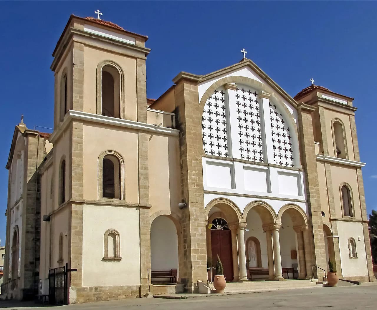
Streets radiate out from the church square, and an hour covers the square, the kafenia and a wander through the older lanes. Nothing has been arranged for visitors: there is no promenade or souvenir strip, so the appeal is everyday village life rather than a list of ticketed sights. Treat the centre as a short stop and put the time you save into the coast and the tower.
Half a day adds the two rock-cut sights south of the houses and lunch at the fishing shelter, while anything longer means heading to the water or into Larnaca or Ayia Napa. Arrive in the morning when bakeries and kafenia are busy and the heat is still manageable, since the village effectively closes through the afternoon and reopens once temperatures drop.
The village centre: church square, old lanes and kafenia
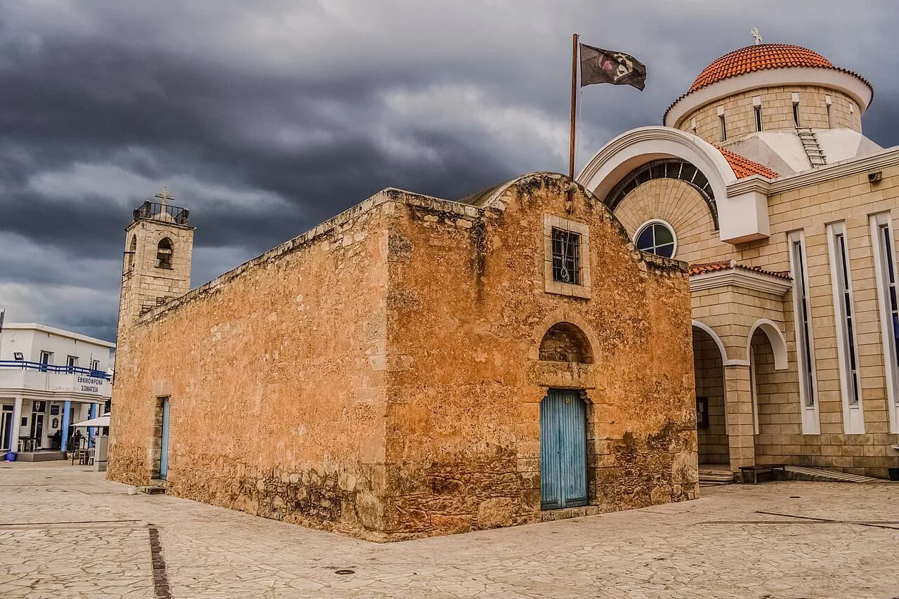
The centre has old stone streets and churches around the square, with kafenia filling by mid-morning and a butcher and bakeries serving a local trade rather than a holiday one. It is a place to watch ordinary Cyprus at work, not to tick off attractions, so walk the lanes slowly and let the square set the pace.
Farming sets the calendar more than tourism does, and tractors outnumber hire cars on the lanes in spring. If you are linking several inland villages on one loop, Xylofagou works well beside Sotira and the other villages near Ayia Napa, which sit within a short drive on the same plain.

Pyrgos tis Rigenas (Tower of Regina) at Cape Pyla
Pyrgos tis Rigenas stands about 3 km south of the village on the highest point of the plateau at Cape Pyla, some 100 metres above sea level. It was built in the medieval period, during the Venetian occupation, as a watching tower in a chain built across the island to guard against raids on the east Mediterranean. The position gives a panoramic view over the surrounding coast and farmland, and that outlook is as much the reason to come as the masonry itself.
The tower is built from hacked cubic limestone, and a historical account cited for its recorded history gives a height of 22.5 feet with an 86-foot base, entering by a moveable ladder. It was reused in the Second World War by the British as a watch post for ships, submarines and aircraft. Treat it as a short roadside stop with a panoramic view rather than a staffed visitor attraction, and check current access before setting out.
The shoreline south of the village: Spilia tou Vikla and Agioi Saranta
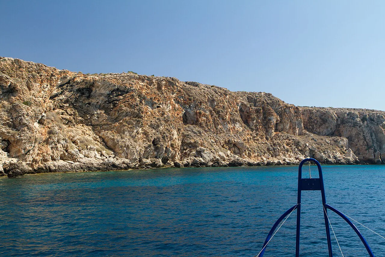
South of the houses the land runs out to a low limestone edge with no sand along any of it, which surprises visitors expecting a village beach. What sits there instead is more interesting: Spilia tou Vikla, a collapsed sea cave where the rock has opened into a deep Blue pool connected to open water. It is reached along a rough track, and the sight alone justifies the detour.
The water inside runs well beyond standing depth and stays clear and cold. Confident swimmers do use the pool, but nobody supervises it, and climbing out is harder than dropping in, so judge it honestly before committing. A short way along, the chapel of Agioi Saranta, the Forty Saints, sits underground in a chamber cut into rock, reached by steps and lit with candles rather than electricity, which gives it an atmosphere unlike anything above ground.
Proper sandy beaches begin about fifteen minutes east towards the resorts, and Larnaca has a city stretch a similar distance west, so plan any swimming for those rather than the village shore. The rocky inlets here suit a look and a photograph, not a family beach day.
Potamos Liopetriou fishing shelter nearby
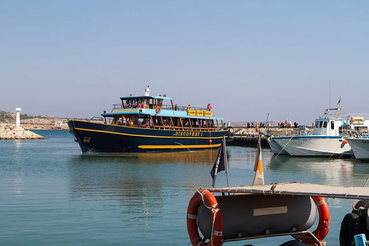
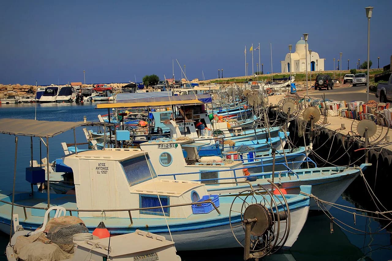
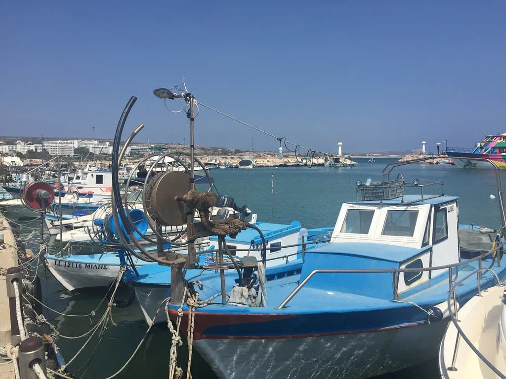
The fishing shelter at Potamos Liopetriou, about 8 km and ten minutes away, is lined with colourful boats and fish tavernas and makes a natural lunch stop after the coast. It is a working harbour rather than an attraction with opening hours, so go when the boats are in and the tavernas are serving.
Liopetri village sits just inland from the shelter, so the two combine easily in one afternoon with the drive back to Xylofagou.
Getting there and around: motorway and driving times
The motorway runs along the northern edge of the village, which is why somewhere this rural sits within half an hour of nearly everything on this end of the island. Rough driving times put Larnaca International Airport at 25 km or 20 minutes, Larnaca city centre at 30 km or 25 minutes, Ayia Napa at 15 km or 15 minutes, Potamos Liopetriou at 8 km or ten minutes and Nicosia at 65 km or 50 minutes. Traffic is negligible outside harvest weeks and the school run.
A car makes the tower and the shoreline practical, since both sit off the built-up streets and the cave is reached by a rough track. For the centre alone you can park and walk, and the flat grid of lanes radiating from the square keeps orientation simple. Cyprus drives on the left and prices are in euros.
If you would rather build a short driving loop through this corner of Famagusta District, Avgorou and Frenaros lie within easy reach of Xylofagou on the same plain and reward a stop each.
When to go: spring and autumn versus summer heat
Spring and autumn suit Xylofagou best, when temperatures sit in the twenties and the fields are either green or being worked. April and May bring the spring growth, while autumn keeps the light long enough for the tower viewpoint and the shoreline in one afternoon.
High summer is hot enough that the village closes through the afternoon, so plan the centre early and the coast late. Watermelons appear at roadside stalls through July and August, which is the liveliest time to see the farming economy at work even if the heat limits walking.
How Xylofagou fits into a trip around Ayia Napa, Larnaca and Famagusta
Xylofagou works either as a half-day stop between the resorts and Larnaca or as a quiet base for exploring both ends of the coast. The trade-off is simple: staying here buys rural calm and short drives to Nissi Beach and the Ayia Napa attractions, but it gives up a promenade and a walkable beach of its own.
Coming from Ayia Napa, allow fifteen minutes each way and combine the village with the tower and the fishing shelter for a relaxed day. Approaching from Larnaca, the drive is about 25 minutes from the centre and 20 minutes from the airport, which makes it an easy first or last stop on the island. Famagusta lies further along the coast, and a hire car makes the wider circuit practical.
Should Xylofagou be a stop or a base?
Choose Xylofagou as a base if you want a working village with short drives to both Ayia Napa and Larnaca and do not mind rocky coastline instead of sand. Choose it as a half-day stop if you mainly want the church square, the Cape Pyla viewpoint and the cave chapel before moving on.
Either way, come in spring or autumn, drive, and give the tower and shoreline a morning before the heat builds. The village rewards travellers who want ordinary Cyprus rather than a resort strip, and it asks only that you adjust your expectations of the coast.
Explore more Ayia Napa guides
Frequently Asked Questions
Do you need a car to visit Xylofagou?
A car makes the visit far easier. The centre is walkable once you park, but the Tower of Regina at Cape Pyla and the collapsed sea cave at Vikla sit a few kilometres south along minor roads and a rough track. A motorway junction sits just above the village, so arriving by hire car from Larnaca or Ayia Napa is straightforward.
Is Xylofagou near the beach?
Not in the way the question suggests. The village shoreline is low limestone rock with no sand, and the collapsed sea cave at Vikla is a deep pool for confident swimmers rather than a beach. Sandy resort beaches begin about fifteen minutes east, and Larnaca's city seafront is a similar distance west.
What is Xylofagou known for?
Agriculture first: potatoes and watermelons grown on the surrounding red soil are the village's island-wide reputation, and tractors outnumber hire cars on the lanes each spring. Visitors also come for the collapsed sea cave at Vikla, the underground chapel of Agioi Saranta nearby and the Venetian-era Tower of Regina on the plateau at Cape Pyla.
Sources
Notes for your Cyprus trip
Optional updates to our Cyprus guides.
You might also like
Continue reading
More guides you'll find useful