Troodos Map: Villages, Painted Churches and Mountain Roads
Use this Troodos map guide to place the villages, painted churches and monasteries, see how the roads connect them, and judge driving times before you set off.
On this page
A Troodos map is really a village map: the sights that draw travellers into the Troodos mountains sit in scattered hill villages rather than at one central address. Platanistasa, Lagoudera, Saranti, Galata and Fikardou each hold a church or a museum worth the drive, so the map, not the itinerary list, is what tells you which stops combine. This guide lays out those points and the roads between them so you can build a route that fits a day.
The practical consequence is that you choose clusters, not a single destination. The painted churches of Pitsilia and the museum village of Fikardou sit in the Lefkosia (Nicosia) district, and each published opening arrangement differs, so the day you pick changes what is reachable.
What the Troodos map shows
The Troodos range spreads across the south-west of Cyprus, with its highest ground in the Limassol district and the painted churches strung across the Lefkosia (Nicosia) district to the north-east. On a map the churches look close together because the villages are neighbours, but the connecting roads bend around ridges and valleys, so straight-line proximity flatters the driving.
Read the map in two layers. First find the villages, because every church is listed under a village address: Timios Stavros tou Agiasmati under Platanistasa, Panagia tou Araka under Lagoudera, Panagia Podithou under Galata, and the Fikardou museum under Fikardou itself. Then trace the roads that join those villages, since the church signposts follow the village names rather than the site names.
Troodos Square is a separate reference point again, a high stop on the main road network that many visitors treat as the mountain's hub. It sits well away from the Pitsilia churches, so a route built around the square will not naturally pass them.
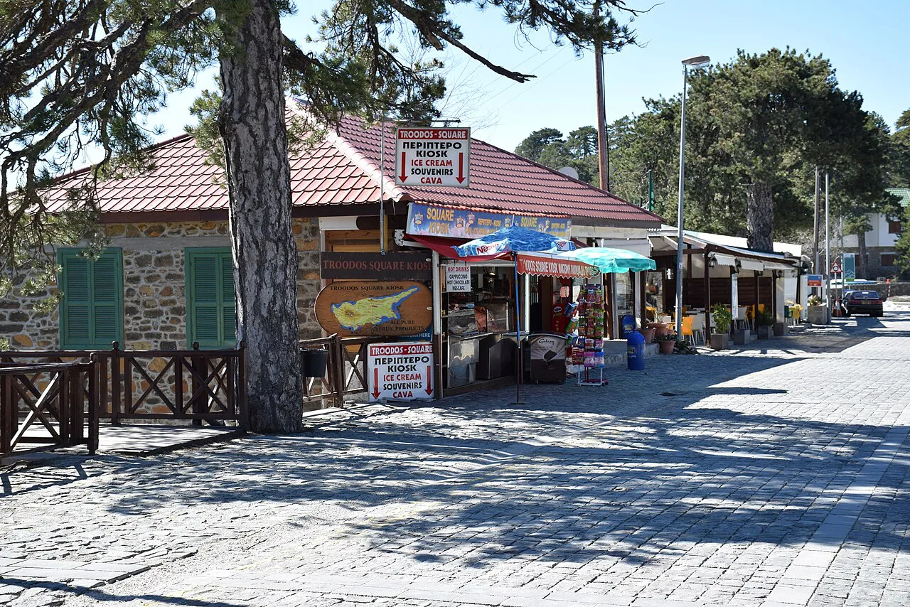
Villages and sites, placed on the map
In Pitsilia, Platanistasa anchors the eastern side of the church cluster, with Timios Stavros tou Agiasmati about 3km outside the village according to the official tourism portal. Lagoudera and Saranti lie in the same mountainous pocket, and Panagia tou Araka is listed as standing between the two, which is why the church appears on maps at a point that belongs to neither village alone.
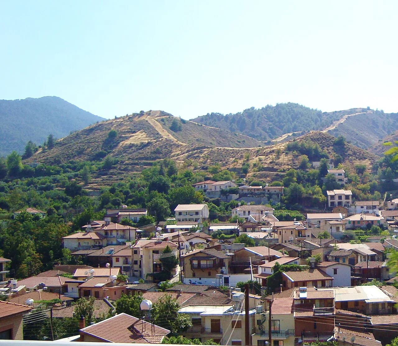
Galata sits further west on the Troodos side, a village with four painted churches, of which Panagia Podithou is the UNESCO-listed one. That concentration makes Galata a sensible map pin for a single stop covering several churches within walking distance of each other.
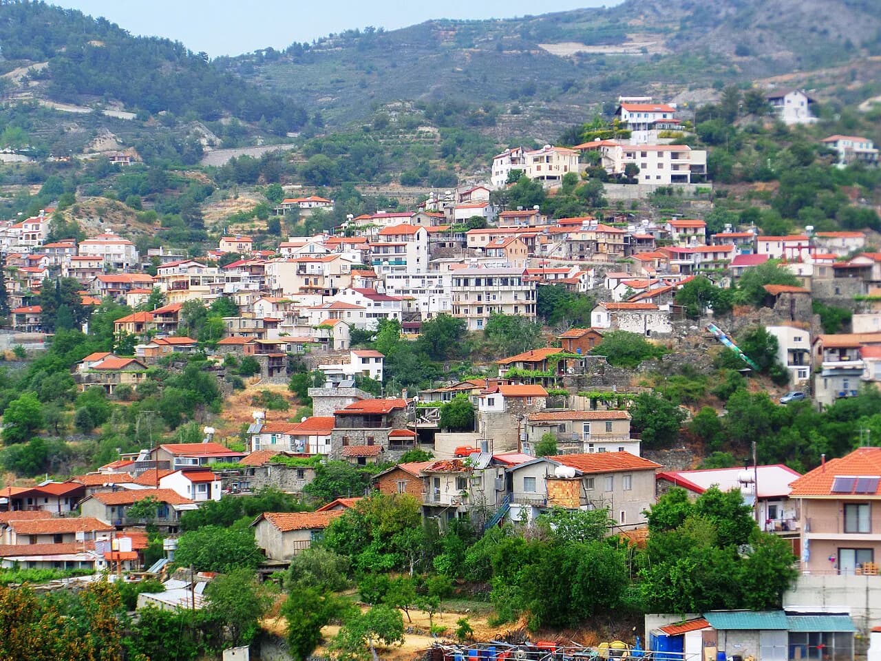
Fikardou lies to the east of the main Troodos mass, closer to the Nicosia side, and is a map stop in its own right rather than a church pin. Treat the villages as the unit of planning: pick two or three that sit on the same road, and leave the rest for another trip.
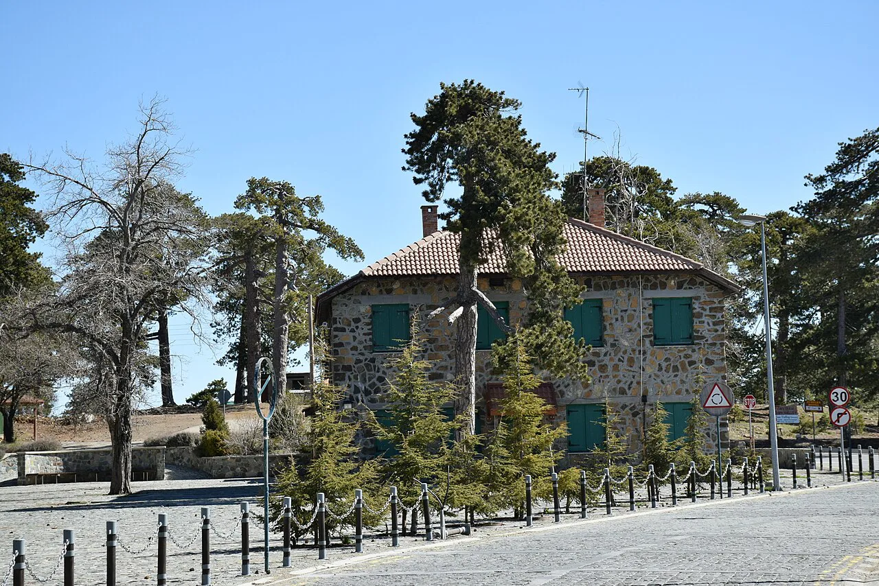
The painted churches as map points
Timios Stavros tou Agiasmati is the most complete surviving cycle of late 15th-century murals on the island, and its decoration is generally accepted as finished in 1494. The building is a single-aisled church with a steep timber roof that extends on all four sides as a portico, a form the tourism portal calls unique in Cyprus. Entry is free and visits are by appointment, so a map pin alone will not get you inside.
Panagia tou Araka is a 12th-century domed church whose frescoes were painted by Theodoros Apsevdis in 1192, with the apse work attributed to a different artist before that date. Its published hours run Monday to Saturday with a lunchtime gap and a later close in summer, Sunday mornings and afternoons, and it closes on public holidays; entry is free.
Panagia Podithou was built in 1502 with funding from Dimitri de Coron and his wife Helene, and its frescoes are in the Italo-Byzantine style that reached Cyprus late in the 15th century. It opens Tuesday to Saturday and, on Sunday, from 11:00; entry is free, and there is an access ramp and accessible toilets.
Troodos Square and the roads uphill
From the coast, the map reads as a single climb: routes from Limassol or Larnaca funnel into the lower Troodos villages before splitting towards the square, the churches and the high ground. Mount Olympus (Chionistra) gives you a fixed high point to orient by, sitting above the villages and the Troodos Square area.
Why the last stretch feels slow: mountain roads here take their time against the map's scale, and the bends multiply as you gain height. Villages also sit below the ridge line, so you drop into one and climb out again, and each of those dips adds minutes that a flat-road estimate hides.
Build the day around what you can see in daylight rather than around distance. Two church villages plus Fikardou is a realistic shape; adding the square and a summit road pushes the driving share of the day up, and the churches keep short published hours with a closure over lunch.
Driving between the sites
Cyprus drives on the left, and the Troodos roads are ordinary public roads, so the main planning question is not the rules but the condition of the surface and the traffic on the approach. A routing app reading current road data gives you live directions to a point the printed map cannot resolve.
Hire cars on these roads need a competent driver comfortable with narrow, bending hill routes, and the last approach to the Pitsilia churches runs on village roads rather than main highways. Use the trip planner to test alternative approaches before you commit, because the app will reroute around a blocked lane while your paper plan will not.
Fikardou as a map stop
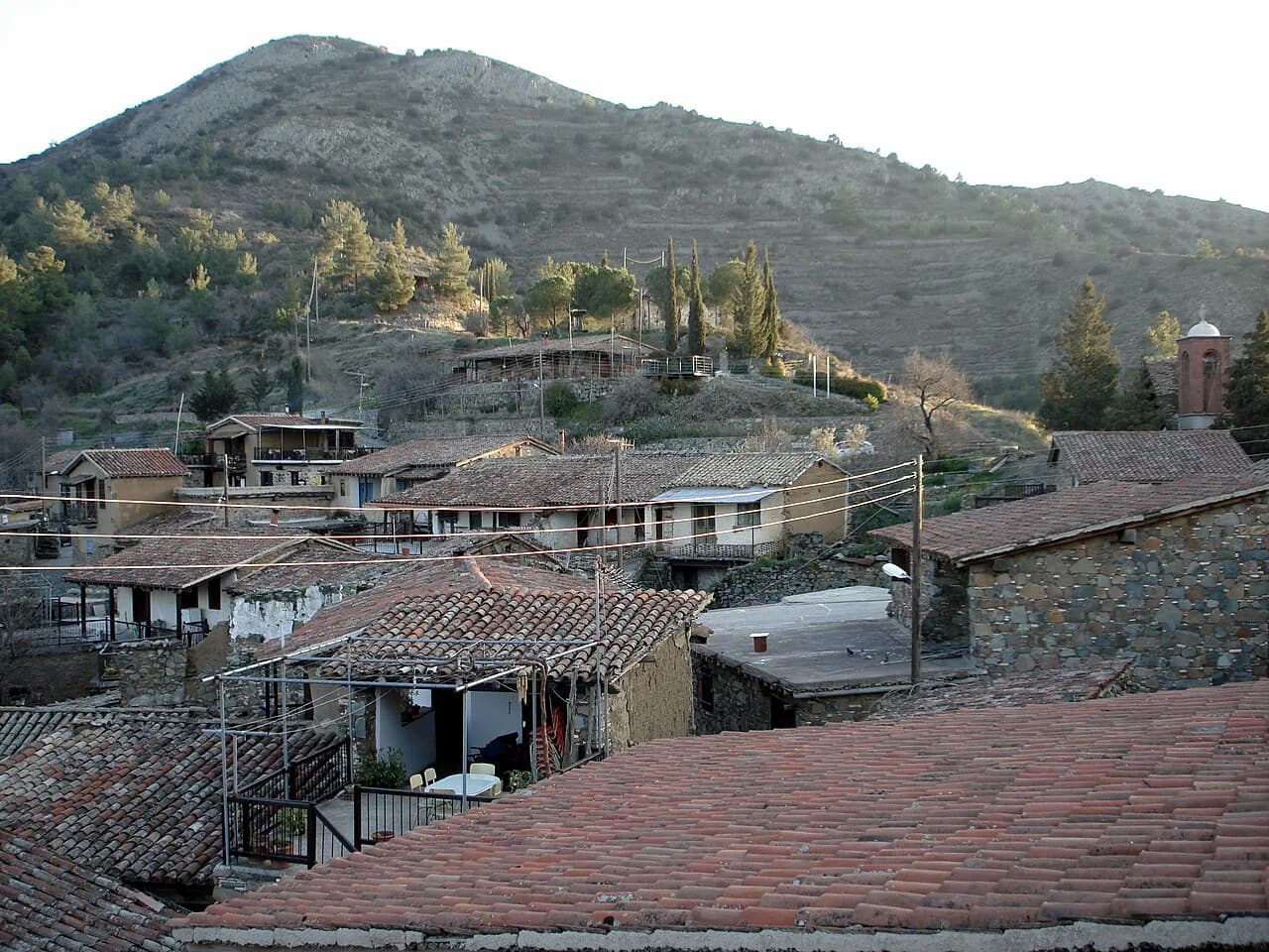
Fikardou is the one place on this map where the village itself is the sight: it was deserted early in the 19th century and the whole settlement has been declared an Ancient Monument, restored to preserve its 18th-century houses. The museum occupies two of them, the House of Katsinioros and the house of Achilleas Dimitri, the second turned into a weaver's workshop and scholar's guest house.
Published hours are 09:30 to 17:00 daily from 15 April to 30 October and 08:30 to 16:00 from 1 November to 15 April, with Monday closures and public holidays off, and entry is free. The restoration work earned the village and its houses the Europa Nostra Award in 1987, and the museum displays photographs and drawings of how it was done.
Because Monday is closed and free entry removes any ticket decision, Fikardou is the easiest stop to slot into a map route, but it should not be the last call of the day. Its winter closing time falls in mid-afternoon, so a Fikardou finish forces an early start at the churches.
Timing a route around opening hours
The churches do not share a timetable, and that is the single most useful line on any Troodos map plan. Panagia tou Araka has a midday break on every day; Panagia Podithou opens later on Sunday than the rest of the week; Timios Stavros tou Agiasmati needs an appointment rather than a drop-in; and Fikardou shuts on Mondays. All four are free to enter.
Public holidays close all four sites, so a bank holiday Monday is a day to leave the churches out entirely. Otherwise, put Panagia tou Araka in a morning slot before its lunchtime gap, keep Galata for early or late, and ring ahead for Platanistasa before you build a day around it.
Published hours adjust with the season, so confirm the day you plan to travel against the official listings rather than a screenshot. The Department of Antiquities, which runs these sites, is the authority behind the hours and is the right place to ring when a church matters to your route.
Planning tools worth using
Use an online map for live directions and the tourism portal listings for the facts a map cannot show: whether a church takes appointments, which day it closes, and whether entry is free. The portal publishes a GPS point for Panagia tou Araka, which is what you paste into a navigation app when the village name alone is not specific enough.
For walking between villages, trail maps add the footpath layer that road maps lack, and some routes leave from the Troodos high ground. Keep them as an extra rather than the backbone of the day, since the churches are your fixed points and hours, not the paths, drive the schedule.
Print or save your route and keep a second option in mind. Mountain roads here are not one long loop but a set of branches, so a single closed turn can send a car back the way it came.
Which map route should you draw first?
Start with Pitsilia: Platanistasa, Lagoudera and Saranti on one loop, then decide whether the day has room for Galata or Fikardou rather than both. That order follows the map's geography and keeps the midday church closures from swallowing the drive.
If you are coming from the coast and want a steadier day, reverse it and begin at Fikardou when it opens, moving on to the churches afterwards, since Fikardou has the longest continuous opening window. Either way, confirm the chosen day's hours with the Department of Antiquities before you set off.
Explore more Troodos guides
Frequently Asked Questions
Where are the Troodos Mountains?
The range spreads across south-west Cyprus, with its highest ground in the Limassol district and the painted churches strung through the Lefkosia (Nicosia) district to the north-east. On the map the churches cluster around Platanistasa, Lagoudera and Saranti in Pitsilia, and around Galata further west.
Is it safe to drive to the Troodos Mountains?
Cyprus drives on the left, and these are ordinary public roads; the demanding part is the slow, bending climb into the villages rather than any special restriction. Check live directions and traffic with a navigation app on the day, and allow more time than the straight-line map suggests.
What is the most beautiful village in the Troodos Mountains?
Beauty is a judgement, but Fikardou is the most distinctive map stop: the entire village is an Ancient Monument, restored to preserve its 18th-century houses with their woodwork and folk architecture. Galata and Platanistasa are the picks for painted churches rather than village streets.
Sources
- Timios Stavros tou Agiasmati Church - Visit Cyprus
- Fikardou Ethnological Museum: The Houses of Katsinioros and Achilleas Dimitri - Visit Cyprus
- Panagia tou Araka Church - Visit Cyprus
- Église Panagia Podithou - Visit Cyprus
- Driving directions to Troodos Mountains ...
- Best hikes and trails in Troodos
- MICHELIN Troodos map
Notes for your Cyprus trip
Optional updates to our Cyprus guides.
You might also like
Continue reading
More guides you'll find useful