Troodos Geopark: What to See in Cyprus's UNESCO Global Geopark
The Troodos Geopark protects an uplifted slice of ancient ocean floor. See why the geology is unusual, which painted churches sit inside it and how to drive there.
On this page
The Troodos Geopark is worth a full day if you want to see why Cyprus's mountains are geologically odd, and it earns its UNESCO Global Geopark label from the rock itself: an ancient section of oceanic crust that has been lifted to its present position by the collision of the African and Eurasian plates. Most travellers pair the geology with the painted churches scattered through the same villages. This guide covers what the geopark is, the mountain roads that reach it, the UNESCO-listed churches inside it and the practical catches such as appointment-only openings.
Treat the drive as the main constraint. The geopark sits within the Troodos mountains of the Republic of Cyprus, and a car is the practical way to link the church villages of Pitsilia with the restored village of Fikardou. Roads climb and twist, so a realistic plan is two or three stops rather than five.
What the Troodos Geopark is
A UNESCO Global Geopark is an area whose geological heritage is internationally significant and managed for education and tourism, and Troodos holds that status through the Troodos UNESCO Global Geopark. The label is about the rock and the landscape rather than a single fenced attraction. You travel between villages, churches and viewpoints, and the geology is what you are driving across.
That matters when you plan: the geopark's interest is spread across the massif rather than concentrated at a visitor centre, and the stops that reward a visitor most are the painted churches and the stone-built villages. Build the day around those and read the rock on the way.
The geology in plain terms
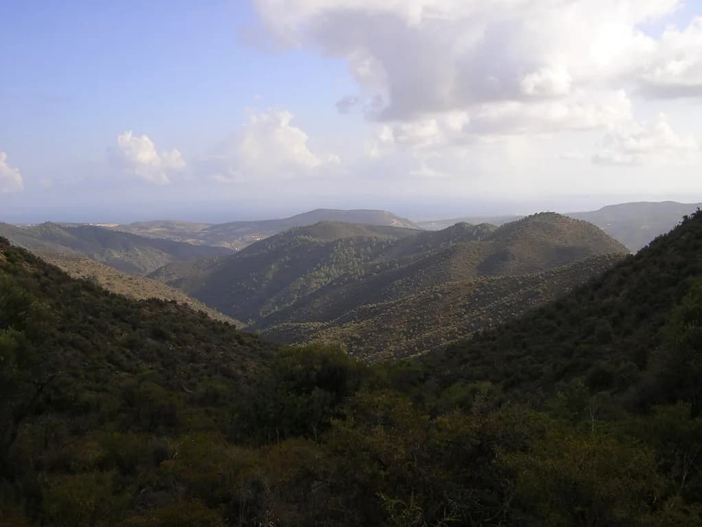
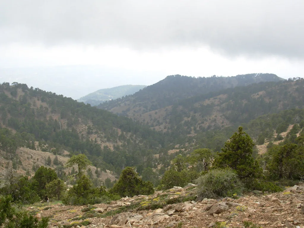
Troodos is a piece of very old oceanic crust, the rock that normally lies under deep sea, now standing high above the Mediterranean because the collision of the African and Eurasian plates pushed it up. Rock of this kind, an uplifted slice of ocean floor, is what gives the massif its unusual character; the exposed rock on the higher slopes is the visible sign of it.
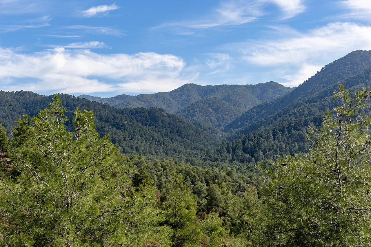
The scenery changes with altitude. Lower slopes carry pine forest and terraced vineyards, while the top of the massif around Mount Olympus (Chionistra) is open, rocky ground that feels far removed from the coast.
Where the geopark sits within the Troodos mountains
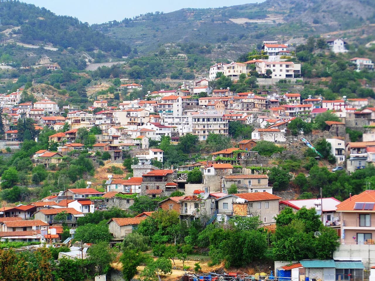
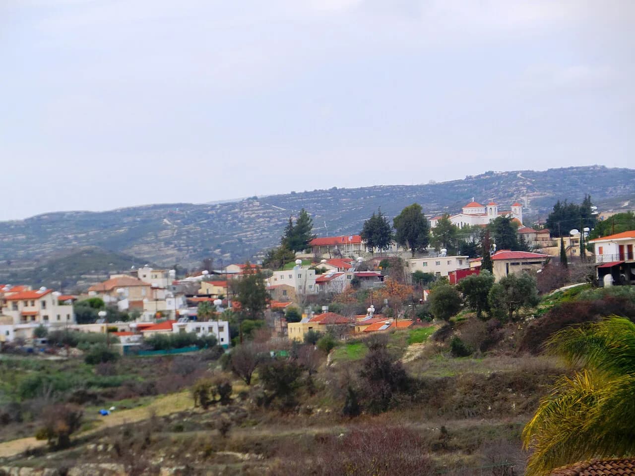
The geopark covers the Troodos range, the mountain core of the island inland from Limassol and west of Nicosia, with the highest ground around Mount Olympus (Chionistra). The painted churches and stone villages that most visitors actually stop at lie in the forested middle and lower slopes, in the Pitsilia area and the Nicosia district, rather than on the summit ridge.
If you want the classic high-mountain stop with parking, cafés and trailheads, head for Troodos Square, the developed hub near the top of the range. It makes a sensible base for a first visit because roads fan out from it towards the church villages.
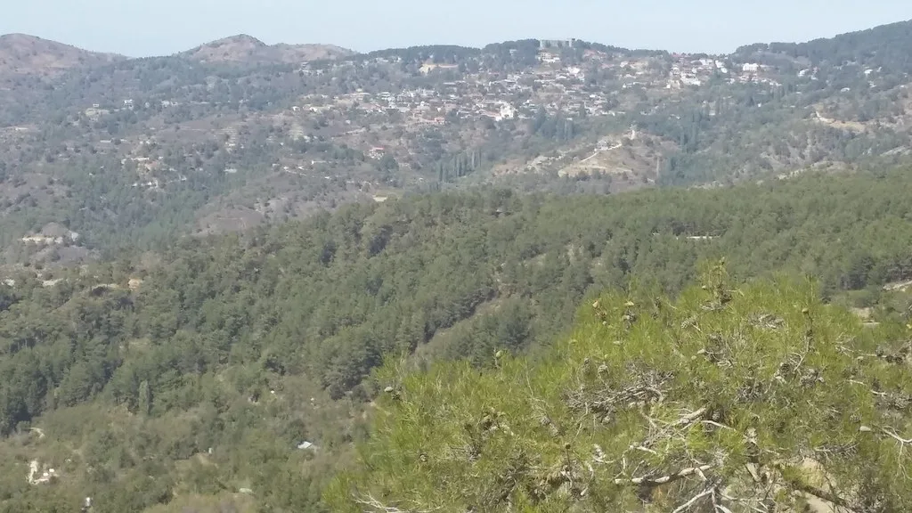
Driving to the Troodos mountains
Cyprus drives on the left, and mountain roads are narrow with sharp bends, so allow more time than the distance suggests. A small hire car handles the roads fine; check that your insurance covers the mountain routes and any unsealed sections before you set off.
Summer heat is the other constraint. The mountains are cooler than the coast, but the sun is strong at altitude and the churches have little shade around them, so start early and carry water. A paper or offline Troodos map is useful for the forested valleys where signal can be unreliable.
Painted churches inside the geopark
Stavros tou Agiasmati, about 3km outside the mountain village of Platanistasa, is a 15th-century church within the UNESCO World Heritage painted churches of the Troodos region, with the most complete cycles of late 15th-century mural painting on the island. Its decoration was completed in 1494, and the building's steep-pitched timber roof extends to form a portico on all four sides, a feature unique in Cyprus. Entry is free, but the church opens by appointment only and is closed on public holidays.
Panagia tou Araka sits between the villages of Lagoudera and Saranti in Pitsilia, a 12th-century church and UNESCO World Heritage site considered among the most important Byzantine churches on the island. Its frescoes, painted by Theodoros Apsevdis around 1192, are the reason to go. Summer hours are Monday to Saturday 9:00–13:00 and 15:00–18:00, Sunday 10:00–13:00 and 15:00–17:30, with winter afternoons closing earlier, and entry is free.
Galata village packs an unusual concentration of painted churches, and Panagia Podithou is one of four painted churches there and a UNESCO World Heritage site. Built in 1502 with funding from Dimitri de Coron and his wife Helene, it is a single-aisled church with frescoes in the Italo-Byzantine style that reached Cyprus in the late 15th century. Opening is Tuesday to Saturday 9:00–16:00 and Sunday 11:00–16:00, entry is free, and there is an access ramp and accessible toilets.
If you want to see several of these in one trip, plan the loop through Platanistasa, Lagoudera, Saranti and Galata rather than trying to reach them from a coastal base in a single morning.
Village stops that suit a geology day
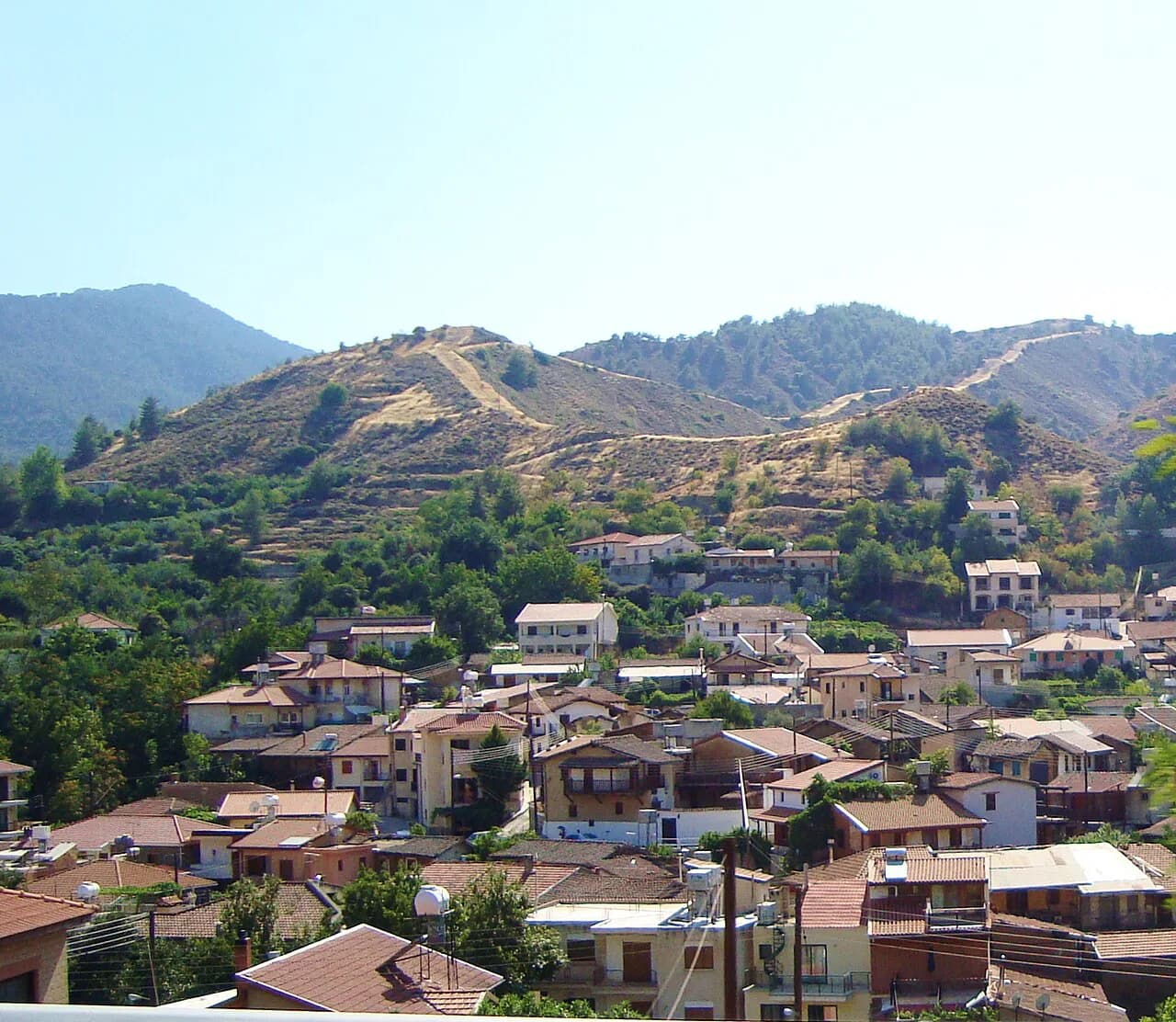
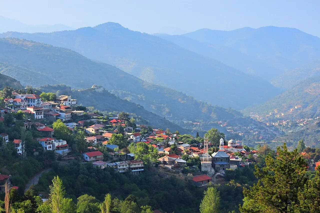
Platanistasa is the access point for Stavros tou Agiasmati and sits in the Nicosia district, so it works as a first stop when you come up from the east. Lagoudera and Saranti flank Panagia tou Araka and make a natural lunch stop between church visits. Galata, lower down, is the base for Panagia Podithou if you are pressed for time and want the UNESCO church without a longer mountain detour.
These villages are small and quiet, so do not expect a full day of town sightseeing. Bring cash in euros for small purchases and check church hours before leaving, since opening times are subject to alteration.
Fikardou, a restored 18th-century village
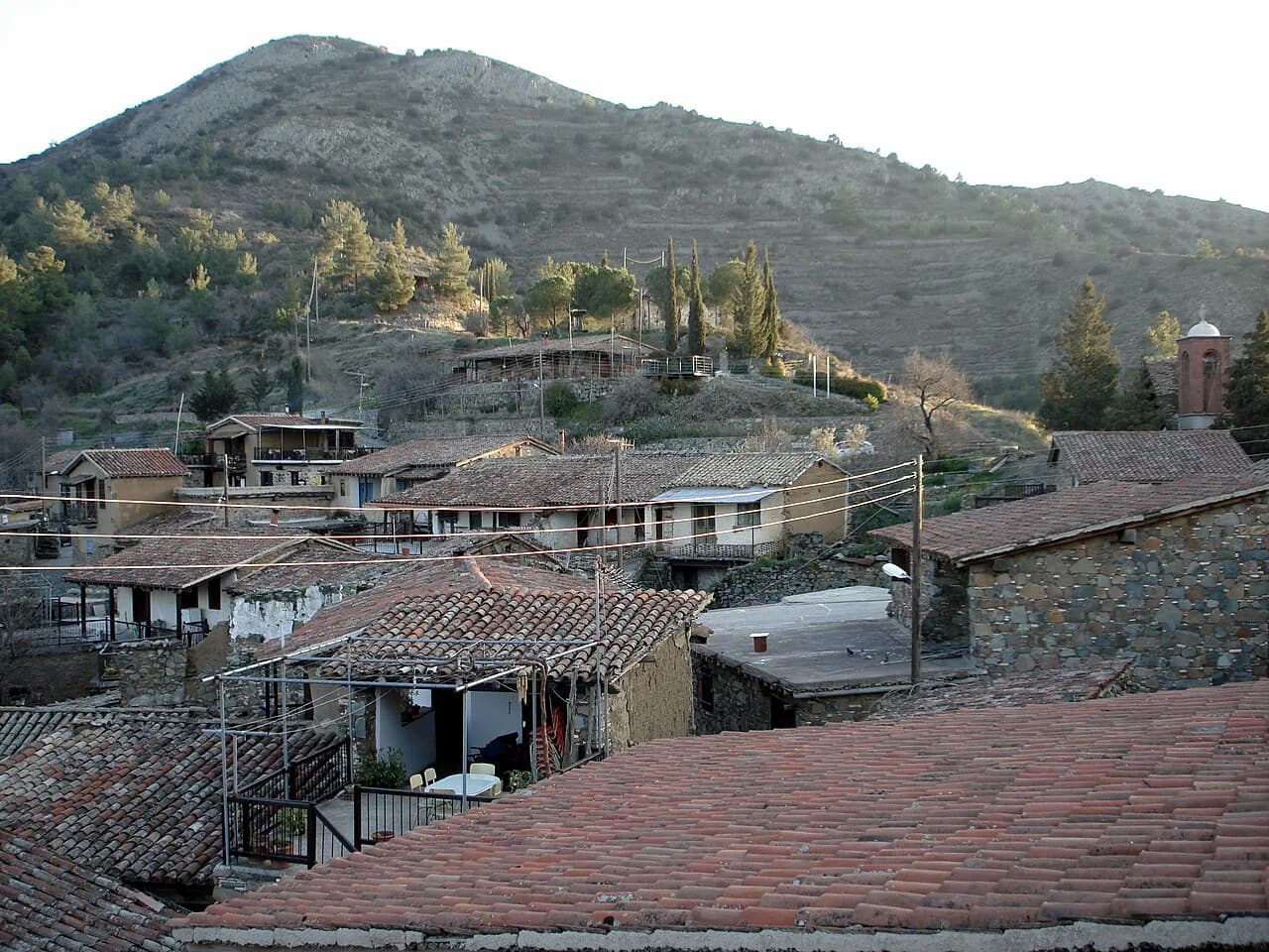
Fikardou, in the Troodos area of Nicosia district, was deserted at the beginning of the 19th century and has been declared an Ancient Monument, with its 18th-century houses carefully restored. Two of them are museums: the House of Katsinioros, a two-storey stone manor with 16th-century features, and the house of Achilleas Dimitri, now a weaver's workshop and scholar's guest house. Entry is free.
The restoration earned the village a Europa Nostra Award in 1987, and the museum includes photographs and drawings of how the houses were brought back. Hours run daily except Mondays and public holidays, roughly 09:30–17:00 in summer and 08:30–16:00 in winter, so a Monday visit means a closed door.
Practical trade-offs to plan around
The biggest trap is appointment-only access. Stavros tou Agiasmati opens by appointment, so call ahead rather than driving up and finding the door shut; the number is listed with the church details. Fikardou is closed on Mondays, and Panagia tou Araka and Panagia Podithou keep seasonal hours that shorten in winter.
Mountain weather is the other variable. Summers are hot and dry at lower levels but cooler on the summit, and afternoons can bring cloud over the high ground, so build in flexibility and start early.
Where to find maps and route material before you set off
Pick up a printed map or download one before you leave the coast, because signal is unreliable in the valleys. The geopark's own English pages carry maps and educational material, and the Troodos map guide is a good starting point for road planning.
If you are basing yourself at the top of the range, the Troodos Square area is the practical anchor for a first day, with the painted-church loop as a second.
Should you build a day around the geopark?
Yes, if you want the combination of strange geology, UNESCO painted churches and stone villages in a single loop. The geopark's appeal is spread across the mountain rather than concentrated in one place, so the drive and the stops matter equally. Two churches and one village make a comfortable day; add Fikardou only if you are staying nearby.
Plan around the appointment-only church and the Monday closure, carry cash in euros and fuel up before you climb. Start early to beat the afternoon heat and keep the map offline.
Explore more Troodos guides
Frequently Asked Questions
Can you drive to the Troodos Geopark?
Yes. The geopark covers the Troodos mountains, and a car is the practical way to link the church villages, Fikardou and the high ground around Troodos Square. Roads are narrow and winding, so allow more time than the distances suggest and check your hire insurance covers mountain routes.
Are the painted churches free to visit?
Stavros tou Agiasmati, Panagia tou Araka and Panagia Podithou all list free entry. Stavros tou Agiasmati opens by appointment, so call ahead, and the others keep seasonal hours that shorten in winter.
What is Fikardou village like to visit?
Fikardou is a striking stop for architecture: the whole village is an Ancient Monument, restored to preserve its 18th-century houses, and two of them are museums. Entry is free, and the museum is closed on Mondays and public holidays.
Does Cyprus have any mountains?
Yes. The Troodos range is the island's mountain core and reaches its highest point at Mount Olympus (Chionistra). The range is cooler than the coast and carries pine forest on the lower slopes.
Sources
Notes for your Cyprus trip
Optional updates to our Cyprus guides.
You might also like
Continue reading
More guides you'll find useful