Famagusta Map: Walled City, Varosha and Salamis Explained
A Famagusta map guide to the walled city, Varosha, Salamis and the district, with what sits where and how to plan a day around them.
On this page
A Famagusta map separates three things travellers often treat as one pin: the walled city, known locally as Suriçi, the fenced section of Varosha (Maraş) to its south, and the Salamis archaeological site up the coast. This guide explains what sits where and how to order a day around them, and there is a separate guide to the Varosha guide for the fenced strip itself.
Famagusta is on the east coast of Cyprus, in the northern part of the island. The Visit North Cyprus district map sets out the northern district, while the Cyprus Maps portal publishes a road map of the Famagusta district plus separate maps for Ayia Napa and Protaras, which belong to the Republic's Famagusta district further south.
What a Famagusta map actually covers
The name covers a walled city, a fenced coastal strip, an archaeological site and a district that runs north towards the Karpaz Peninsula. Treating them as one destination is the usual mistake: the walled city is walkable, Varosha sits immediately to its south, and Salamis is a separate drive north. Work out which of the three you are looking at before you start plotting a route.
For orientation, the Visit North Cyprus district map shows the northern district and its towns, and the Cyprus Maps portal publishes a road map of the Famagusta district alongside larger-scale maps of Ayia Napa and Protaras. The latter two are in the Republic and are useful only for the southern end of your trip, not for the walled city or Salamis.
The walled city on the map: harbour, Land Gate and the wall ring
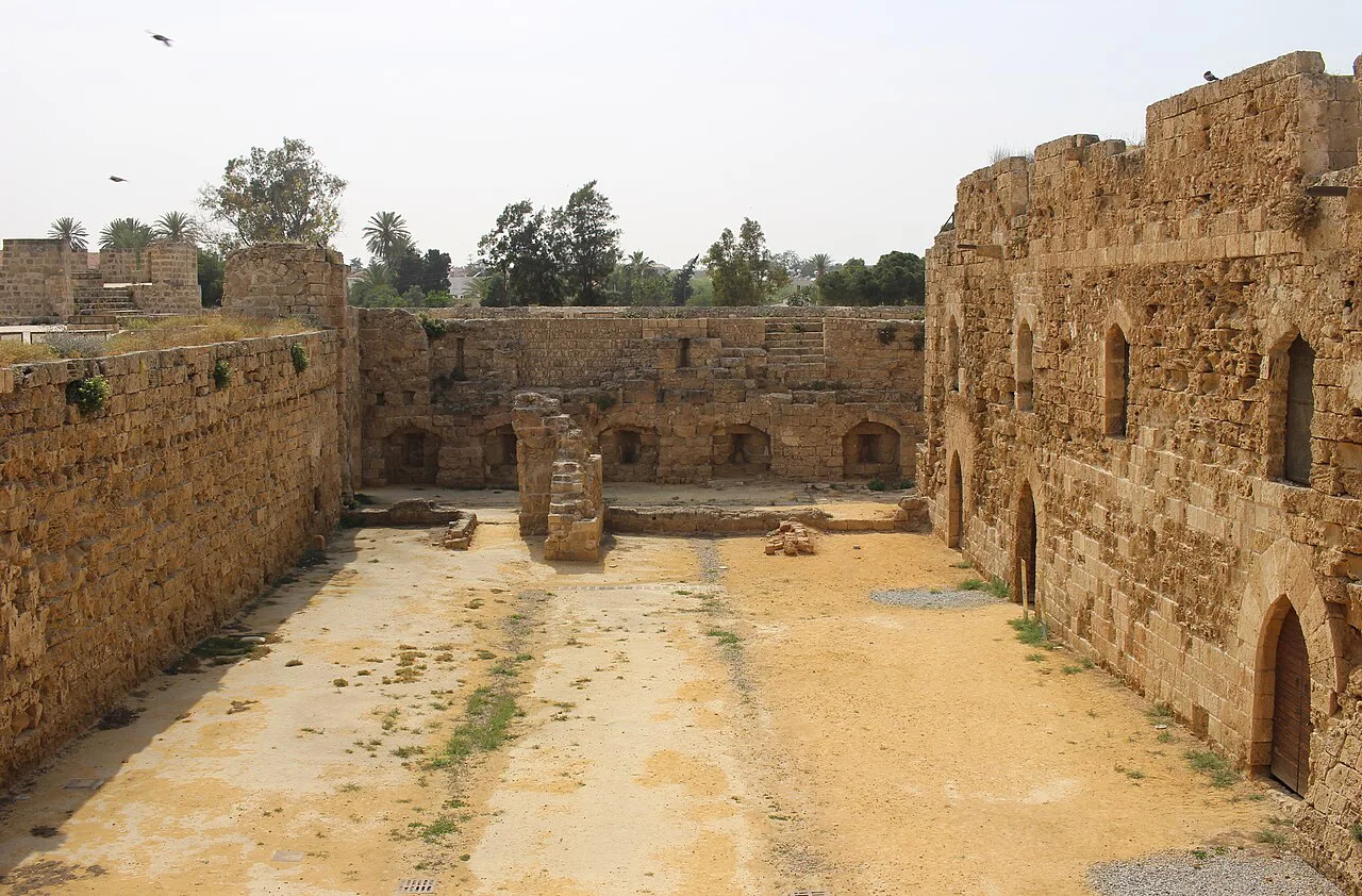
The walled city is a rough circle of fortifications with the harbour on its eastern side and the Land Gate, the historic entry from inland, on the landward side. Inside, the street grid is tight and irregular, so the wall ring is the most reliable way to keep your bearings. Walking the circuit gives you the shape of the place before you dive into the lanes.
The walls are the visible legacy of the medieval and Venetian fortifications that define the old town, and the wall ring is the most reliable way to keep your bearings. Walk the circuit first to grasp the shape of the place before you dive into the lanes.
Reading the street pattern by landmark
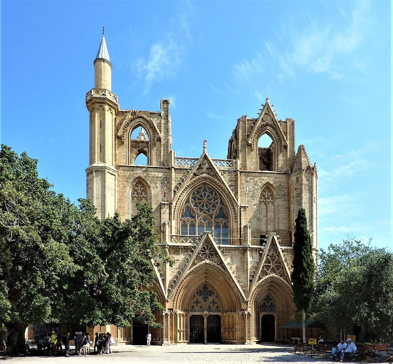
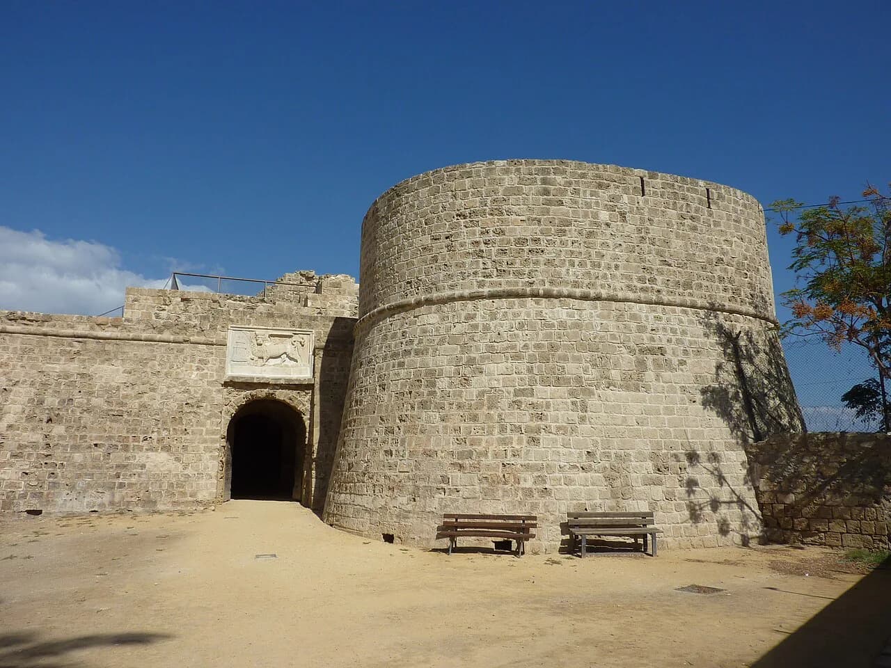
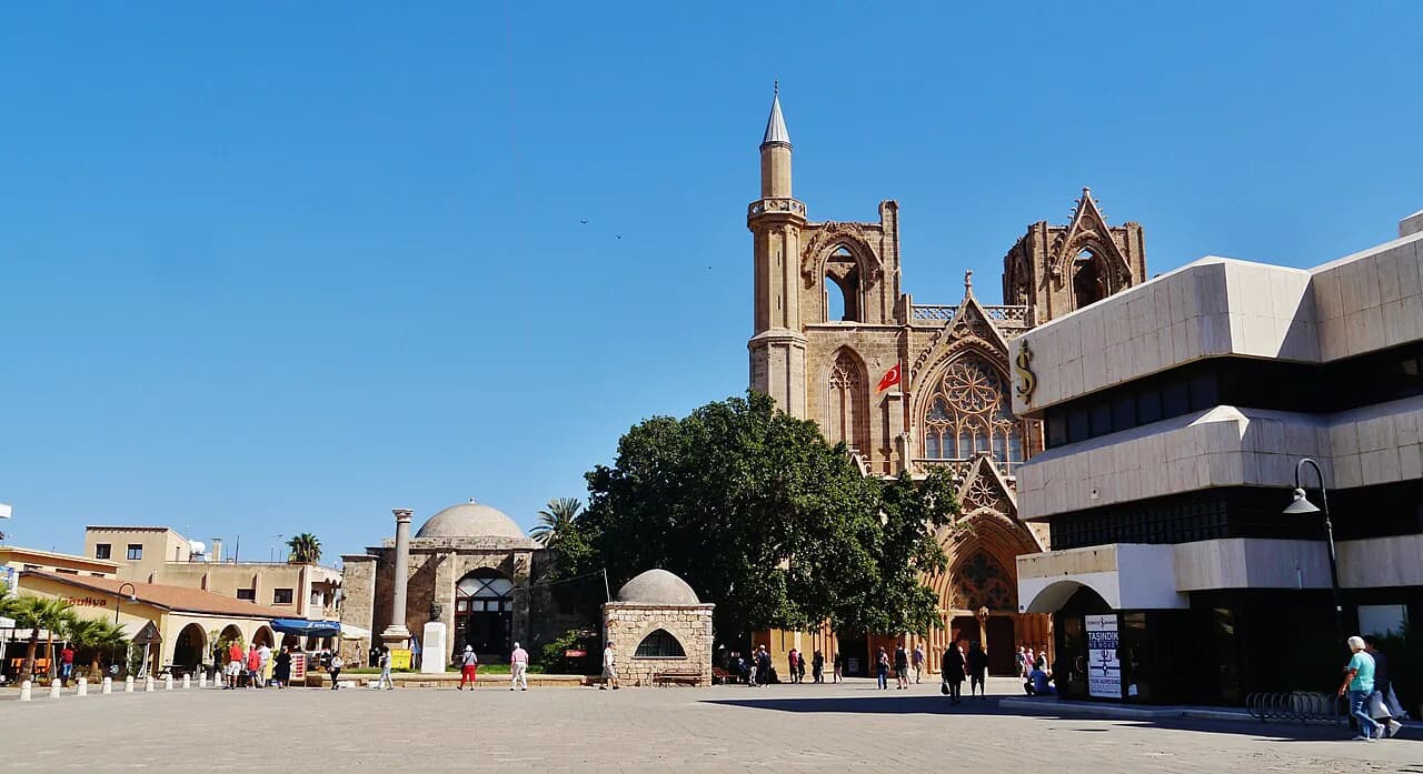
Inside the walls, navigate by landmarks rather than street names. Lala Mustafa Pasha Mosque, the former St Nicholas Cathedral, sits near the centre of the grid; the Othello Tower area anchors the harbour-side corner; and the Land Gate marks the inland approach. Once you can place those points, the lanes between them fall into order.
The Gothic churches are scattered through the same compact area, which is why the walled city rewards slow walking rather than a checklist. Start at the mosque, drift towards the Othello Tower and the harbour, then loop back through the lanes towards the Land Gate. Allow a half day if you want to look inside buildings rather than pass them.
Varosha on the map: where the fenced area sits
Varosha, or Maraş, occupies the coastal strip immediately south of the walled city, so the two sit almost back to back on a map. The fenced section is not a separate excursion you drive to; you reach it from the edge of the old town and the coast road. That proximity is what makes a combined morning and afternoon practical.
Access to Varosha is controlled by the authorities on the ground, and the open sections and conditions can change. Check the current rules before you travel rather than relying on a map alone, and use the Varosha access guide for the detail on what is currently open.
Salamis and the north of the district
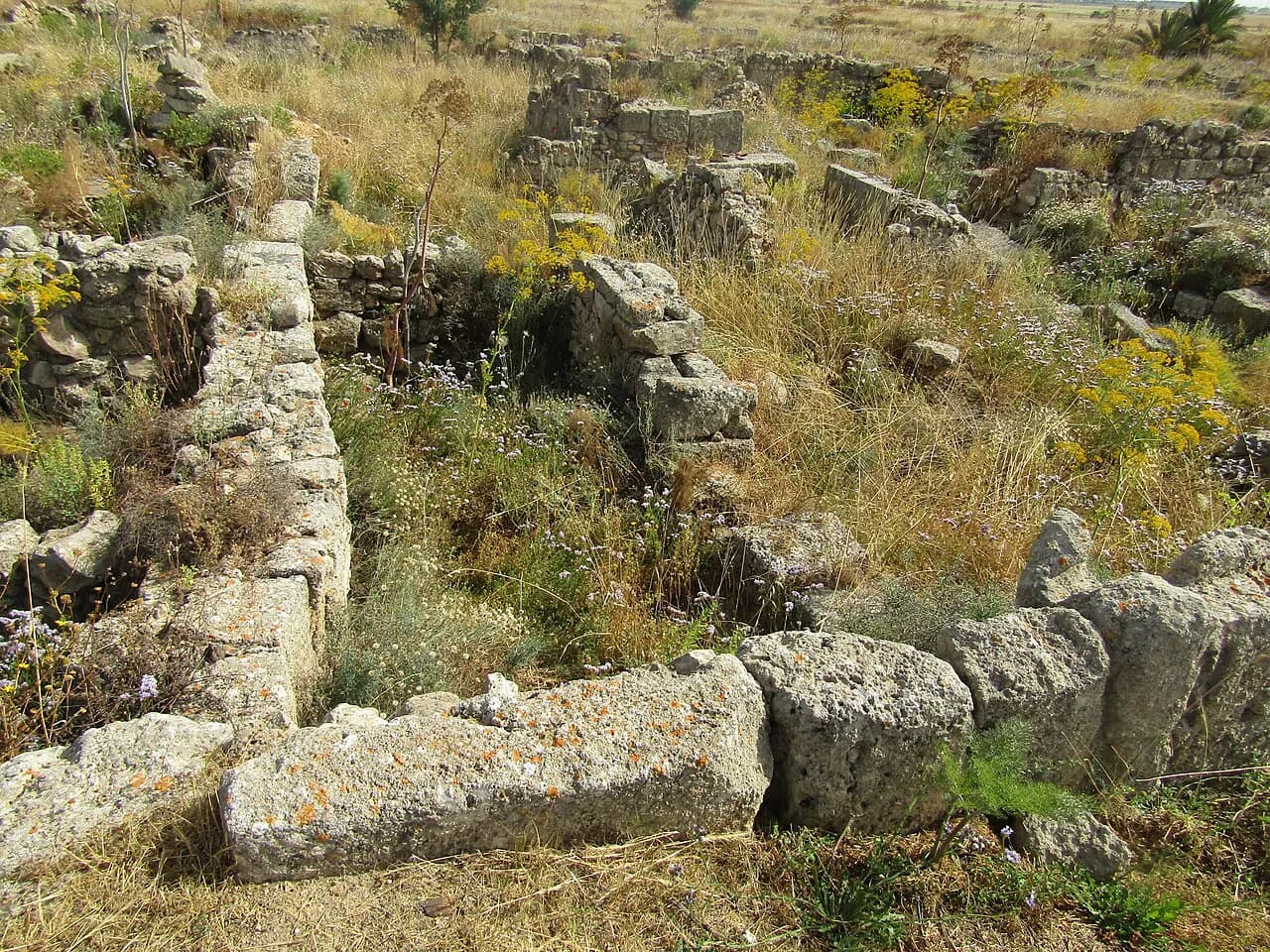
Salamis lies north of the walled city along the coast, on a different scale entirely: it is a sprawling archaeological site rather than a street grid. On a map it reads as a separate stop, which is exactly how to plan it. Give it its own block of time instead of squeezing it between the mosque and the harbour.
The same northern run passes two other sites worth plotting: the Enkomi archaeological site and the St Barnabas Monastery, both near Famagusta. Grouping them with Salamis turns a single site visit into a half-day loop. Opening hours at Department of Antiquities sites vary by season, so confirm them before setting out.
Famagusta on the wider island map: crossings and approaches
On an island map, Famagusta sits east of Nicosia (Lefkoşa) and north of the Republic's resort strip at Ayia Napa and Protaras. Travellers coming from Larnaca or the resorts cross the Green Line at a designated crossing point, and the crossing points are the fixed anchors for planning any drive into the north. Carry your passport for the crossing and confirm that your hire-car insurance covers the north before you set off.
Currency changes with the map, too: the Republic uses the euro while north Cyprus uses the Turkish lira. Sort out cash and card expectations before you cross rather than at the barrier. Treat the crossing formalities as a separate check from the map itself.
Which map format to carry
A paper district map is useful for the drive north towards the Karpaz and for seeing how Salamis relates to the walled city. Inside the walls, though, the scale of a district map is too coarse for the lanes. Use the paper map for the car and a phone map for the old town.
Download offline maps before you cross the Green Line, because a reliable data connection is not something to count on once you leave the Republic. A downloaded map plus a printed district sheet covers both the walking and the driving. Keep the phone charged for the day and carry a power bank.
A one-day map route: walled city, Varosha, Salamis
Order the day by geography rather than by sight. Start inside the walls early, when the lanes are quiet, using the Lala Mustafa Pasha Mosque, the Othello Tower and the Land Gate as your three anchors. Then move south to the Varosha edge before the heat peaks, since the fenced strip sits directly below the old town.
Drive north in the afternoon for Salamis, adding Enkomi or St Barnabas if time allows. This order keeps the walking in the cooler hours and the driving in the hotter ones, which matters in summer. It also means you finish north of town, ready for the return crossing or the coast road south.
Where the Ayia Napa and Protaras maps stop
Ayia Napa and Protaras sit in the Republic's Famagusta district, south of the Green Line, and the Cyprus Maps portal publishes separate maps for each. These are resort-area maps: they cover the southern coast, not the walled city or Salamis. Do not expect one sheet to span both sides of the line.
Plan the two halves of the district as separate days with a crossing in between. A base at Ayia Napa or Protaras works for the southern beaches; the walled city and Salamis need a day of their own on the northern side. Trying to combine them in one outing leaves too little time at either end.
Which part of Famagusta should you map first?
Start with the walled city, because it is compact, walkable and gives you the three landmarks that make the rest of the map legible. Varosha is then a short move south, and Salamis a separate drive north with its own time allowance. Build the day in that order and the map stops being confusing.
Before you travel, confirm the current Varosha entry rules, seasonal hours at Salamis and your hire-car cover for the north. Those three details decide how the day actually runs, whatever the map shows.
Explore more Famagusta guides
Frequently Asked Questions
Can I visit the Varosha fenced area on my own?
Access to Varosha is controlled by the authorities on the ground and the open sections and conditions can change. Check the current entry rules and what identification you need before you travel, then plan Varosha as a walk south from the walled city rather than a separate drive.
Does anyone live in Famagusta now?
The walled city and the wider Gazimağusa district are lived-in places with homes and shops. Varosha is the fenced area rather than the whole town, so the two should not be confused when you read a map.
Where is Cyprus on the map?
Cyprus is an island in the eastern Mediterranean. Famagusta sits on its east coast, north of Ayia Napa and Protaras and east of Nicosia (Lefkoşa).
Sources
Notes for your Cyprus trip
Optional updates to our Cyprus guides.
You might also like
Continue reading
More guides you'll find useful