Paphos Map: How the Town Fits Together for Visitors
A visitor's map guide to Paphos, showing how Kato Paphos, the harbour and Ktima fit together, what sits within walking distance and how to reach Kouklia.
On this page
A Paphos map is really two maps: Kato Paphos on the coast, where the archaeological park, harbour and fort sit within one walkable cluster, and Ktima inland, the everyday town above it. Read the town this way and a single 'Paphos' pin stops misleading you, because the sights you came for are almost all in the lower half. This guide lays out each area, what links them, and the short drives to Agios Neophytos and Kouklia.
Treat the map as a routing tool rather than a list. One seafront morning covers the Kato Paphos Archaeological Park and its mosaics, then the harbour and fort; a separate half day belongs to Ktima; and the monastery and the sanctuary at Kouklia are car trips, not strolls. For the full spread of sights once you have the layout, see things to do in Paphos.
What the Paphos map shows: two centres, coast and inland
Orientation starts with the split. Kato Paphos runs along the coast and holds the Roman remains, the harbour and the seafront hotels; Ktima sits above it as the commercial and administrative town, with its own squares, churches and market streets. On a paper or phone map, look for the coastal strip south-west of the inland grid and you have found both halves.
The practical consequence is that 'near Paphos' covers a lot of ground. A restaurant pin in Ktima is not a short stroll from a Kato Paphos hotel, and a site 9 km outside town is a different outing altogether. Pin your accommodation, then pin each sight, and group them by half before you plan a day.
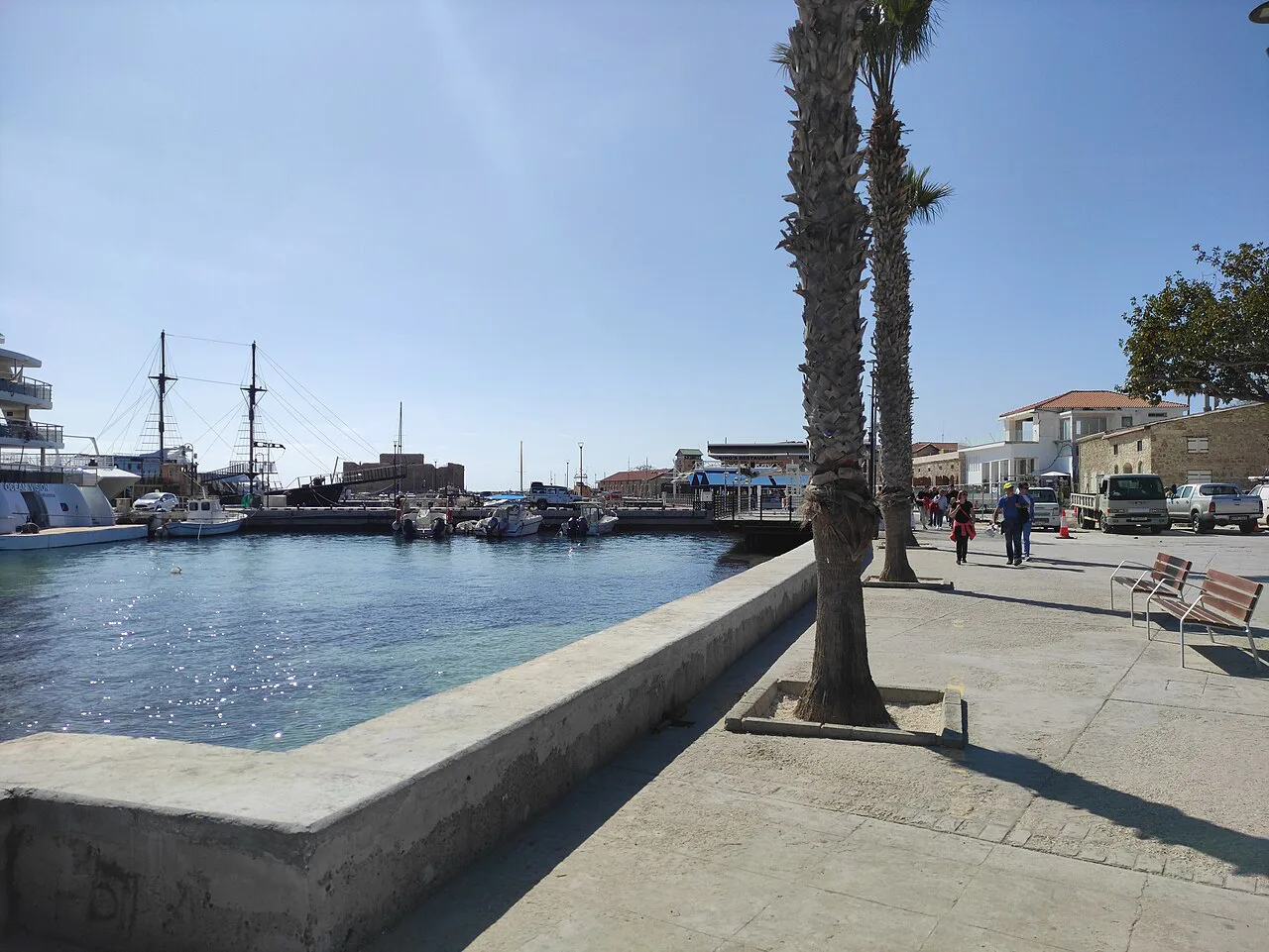
Kato Paphos: the archaeological park, mosaics, harbour and fort in one walkable cluster
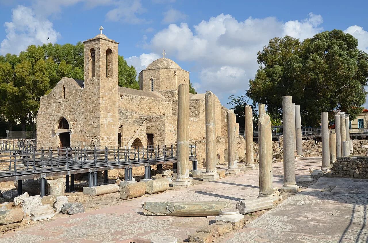
This is the densest part of the map and the reason most visitors barely move the car. The Kato Paphos Archaeological Park holds the famous Roman mosaics, including the House of Theseus and the House of the Four Seasons, and the site sits close to the harbour and its medieval fort. Plan the park for the cooler start of the day, since the mosaics are largely open to the sun. For the full spread of sights, see things to do in Paphos.
The layout rewards walking: travellers who have covered the area report that many attractions sit within easy reach of the harbour and the hotel strip east of it, with a short taxi ride covering the rest. That makes a single loop of park, harbour and fort realistic rather than ambitious. For the mosaics in detail, the guide to Paphos mosaics picks out what to look for in each house.
Give the harbour its own slot rather than treating it as a pass-through. The fort, the waterfront and the cafés around the basin make a natural end to a morning at the ruins, and the promenade continues the walk when the heat eases. Paphos harbour covers what sits where along that stretch.
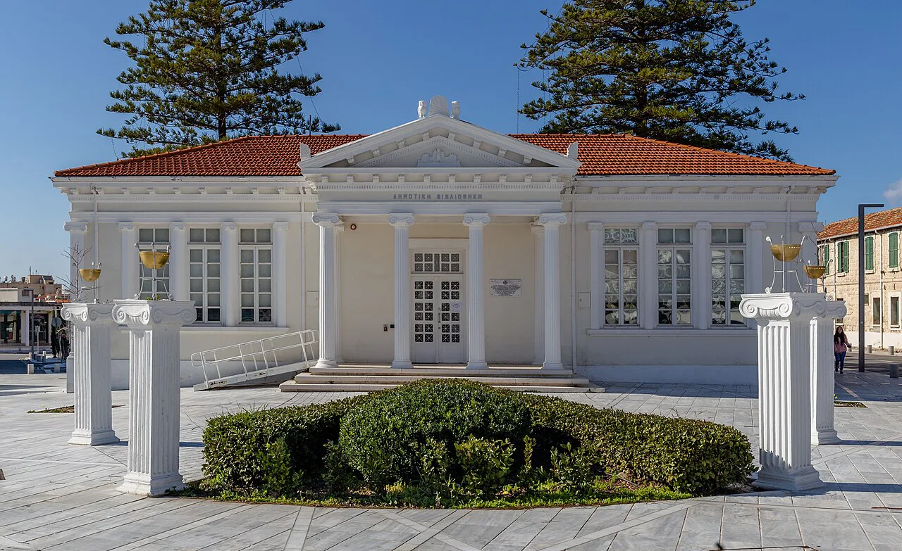
Ktima: the old town, its churches and the everyday town above the coast
Ktima is the Paphos that locals use: market streets, civic buildings, squares and parish churches, arranged on higher ground above the resort strip. It is not a scenic add-on but a working town, which is exactly why it feels different from the seafront. Put it on the map as a separate outing of a few hours, not a detour squeezed into a beach day.
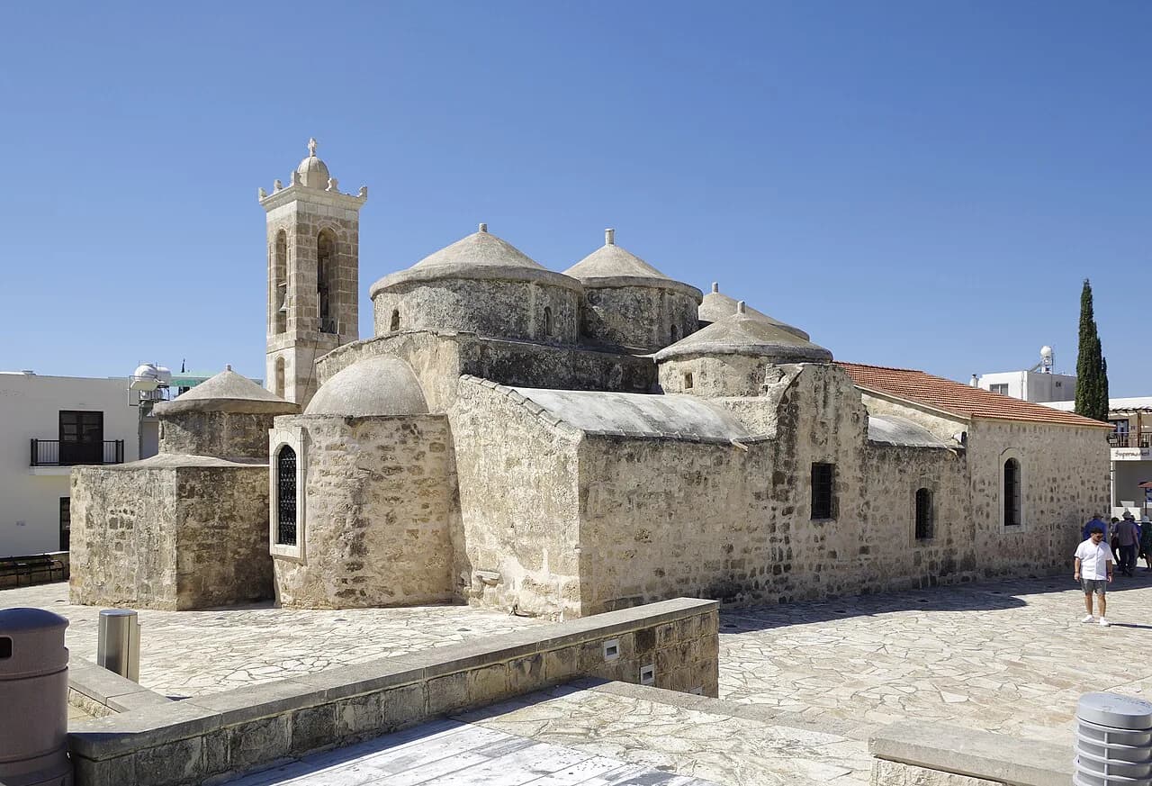
Churches anchor much of the old centre, and the mosaic of lanes around them rewards slow wandering rather than a checklist. Paphos Old Town sets out the streets, squares and landmarks worth aiming for, and Churches in Paphos helps if you want to step inside rather than pass by.
How the two halves connect and what that means for your day
The coastal strip and Ktima are linked by a short run inland, but they are distinct enough that you should decide which one owns each half of your day. A sensible split is ruins and harbour in Kato Paphos one morning, Ktima the next, rather than shuttling between them twice. Distances are modest, yet the climb and the traffic make repeated hops a poor use of time.
Museums sit on both sides of the split, so check the map before assuming one is next door to the other. The guide to museums in Paphos lists what is where, which is the quickest way to slot an indoor hour into a hot afternoon. If the coast is your base, the wider Paphos Attractions: 6 Visitor Guides hub keeps the individual sight guides together.
Agios Neophytos Monastery: 9 km north near Tala
Agios Neophytos Monastery sits about 9 km north of Paphos near Tala, founded in the second half of the 12th century by the recluse Neophytos, who carved the Enkleistra cave from the rock. Its frescoes date from the 12th to the 15th centuries, the later church holds 16th-century Post-Byzantine icons, and there is an ecclesiastical museum on site. Because it is inland, it pairs naturally with Ktima rather than the coast.
The museum and Enkleistra open daily from 09:00 to 13:00 and 14:00 to 18:00 between April and October, and 09:00 to 16:00 from November to March, with a €2 entrance fee. They close on Christmas Day, New Year's Day, Green Monday, Greek Orthodox Easter Sunday and 15 August. Note the midday gap in summer when you build the drive into a morning.
Kouklia and Palaipafos: 16 km away via the F616, with Petra tou Romiou nearby
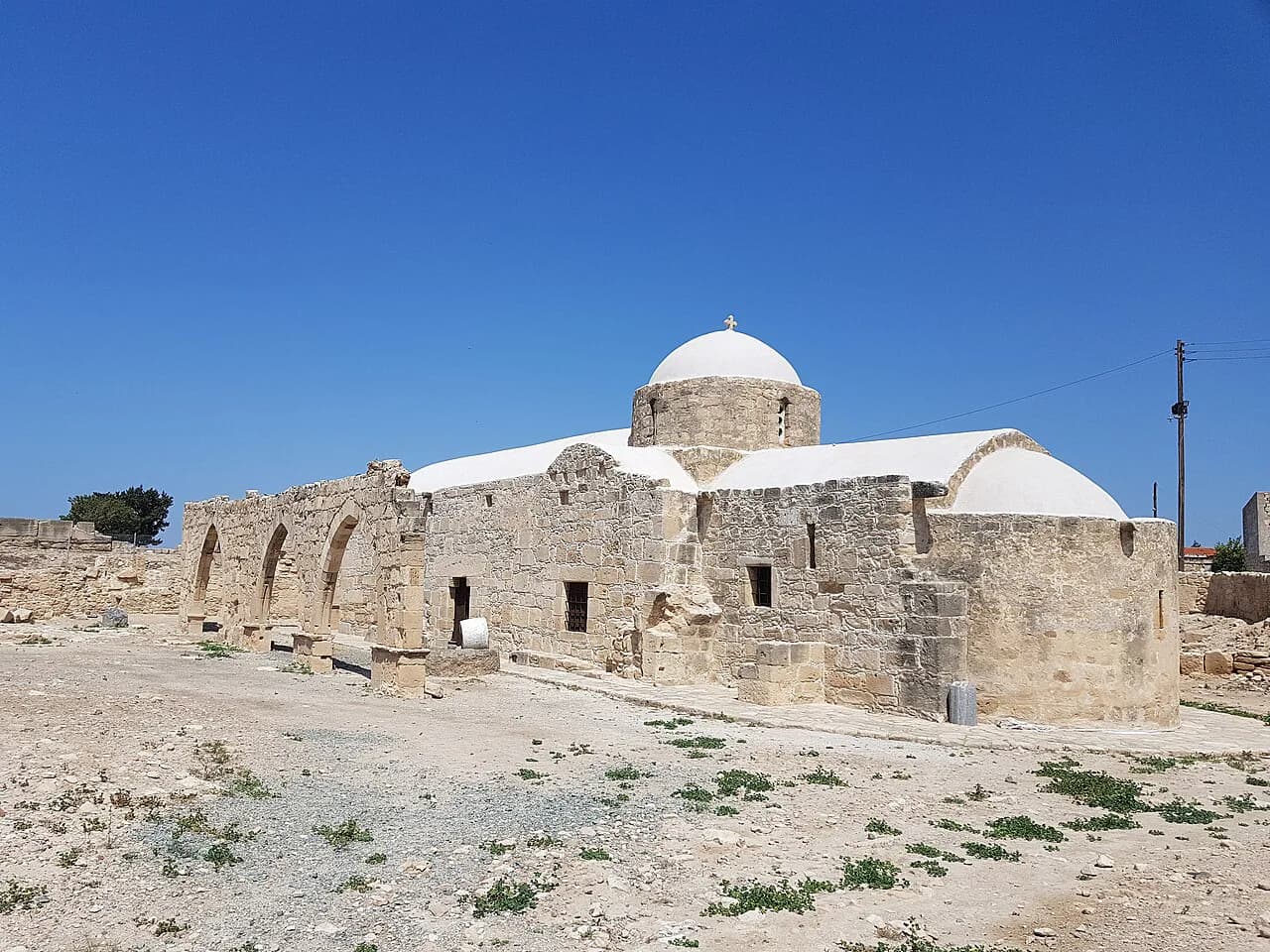
Kouklia stands 16 km from Paphos at 85 m above sea level, built on the site of ancient Palaipafos and its Sanctuary of Pafia Aphrodite. Reach it by turning onto the F616 either from the B06 or from the A06, the Limassol–Paphos highway, which makes it an easy add-on to a drive along the coast rather than a separate expedition. Excavations have also revealed fortifications, a barrow cemetery and tombs, with finds kept in the local village museum.
Petra tou Romiou, or Aphrodite's Rock, lies not far from the village and marks the spot where legend has the goddess born from the foam, so the two combine in one outing. The village itself is leafy and grows fruit and other crops, and its medieval sugar mill is one of the few in the Mediterranean to keep all its working elements. The main church is worth timing for 17 October, when a large fair is held in honour of the Apostle Luke.
Getting around without a car: harbour, coastal path and short hops
Much of Kato Paphos works on foot. The archaeological park, the harbour and the seafront sit close together, and travellers report covering most of the local sights this way, using a taxi only for the longer gaps. Build your day around that cluster and you barely need the map at all.
The promenade is the spine of the coastal walk, linking the harbour area with the hotel strip to the east. Paphos promenade describes the route and where it leads, and Paphos boat trips covers the waterfront excursions that leave from the harbour if you want a break from walking.
Reading the map for opening hours before you set out
Check times the day before, not at the gate. Department of Antiquities sites and monastery museums run seasonal hours and fixed closed days, and the Agios Neophytos pattern of a summer midday break catches people out. Note that opening hours and entrance fees can change without notice, so confirm with the site or the Deputy Ministry of Tourism before a long drive.
Which sights deserve a half day and which take an hour
The Kato Paphos Archaeological Park earns a half day if you read the mosaics properly; the harbour and fort together take an hour or two at an easy pace. Ktima is a half day if you include a market wander and a church or two, less if you only want the main square. Agios Neophytos and Kouklia each take roughly an hour on site, with the driving filling out the rest.
Put the long drives on separate days so the heat does not stack up against you. A coast morning followed by an inland afternoon is harder than it looks in July and August, when the ruins offer little shade and the car park walk adds to it. Start early, and keep the monastery or Kouklia for a day when the coast is not competing.
Which half of Paphos gets your first morning?
Give the first morning to Kato Paphos: the archaeological park early, then the harbour and fort, all on foot. Save Ktima for the next day and treat Agios Neophytos and Kouklia as car trips that pair with the inland town and the coastal road respectively.
Sort your pins into those three groups before you go and the town's awkward geography stops mattering. The old town is a short hop inland, the monastery about 9 km north and Kouklia 16 km from the town of Paphos, and each belongs to a different part of the day.
Explore more Paphos guides
Frequently Asked Questions
What country is Paphos in?
Paphos is a town on the south-west coast of Cyprus, in the Republic of Cyprus. It is the capital of the Paphos district, and the euro is the currency used there.
Where is Cyprus on the world map?
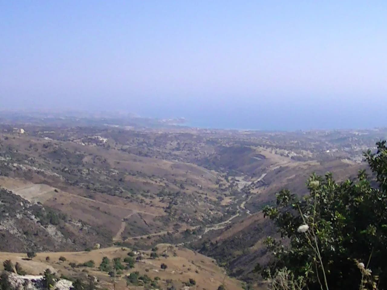
Cyprus is an island in the eastern Mediterranean, south of Turkey, west of Syria and Lebanon, and north of Egypt. Paphos sits on its western side, with the sanctuary at Kouklia about 16 km from the town of Paphos, reached via the F616 from the B06 or A06.
Which part of Paphos is the best base for sightseeing?
Kato Paphos keeps most of the headline sights within walking distance, which suits a short break built around the mosaics and harbour. Ktima gives you the everyday town and easy access to the northward drive to Agios Neophytos, so the choice depends on whether you want to walk or drive.
Do I need a car to see the sights around Paphos?
No for Kato Paphos, where the park, harbour and fort are close together and most of the local attractions are reachable on foot or with a short taxi ride. Yes if you want Agios Neophytos 9 km north near Tala or Kouklia 16 km away, since both lie outside the town and are best reached by road.
Sources
Notes for your Cyprus trip
Optional updates to our Cyprus guides.
You might also like
Continue reading
More guides you'll find useful