Larnaca Map for Visitors: Old Town, Seafront and Main Sights
Use this Larnaca map guide to see how the old town, Finikoudes seafront, Ancient Kition and the Salt Lake fit together, plus where the airport sits.
On this page
Larnaca is small enough that a map plus a little orientation goes a long way. The town lies on the eastern side of Cyprus, south-west of Famagusta and north-east of Vasilikos, and the island's main airport sits beside the Salt Lake on the edge of town. This guide groups the main places by area and explains how the old town and seafront relate, where the airport sits and why you will see the name spelt two ways.
Larnaca at a glance: old town, seafront and Salt Lake
The old town is the inland core of Larnaca, a knot of lanes, small squares and churches set back from the water. Below it, the Finikoudes waterfront faces the bay with palms and a promenade. Beyond the town to the west lie the Salt Lake and the airport, which share the same flat corner of the map.
The town is the main airport city on Cyprus, and the airport sits next to the Salt Lake, which is why planes and the lake's birdlife share the same corner of the map. Larnaca lies on the eastern side of the island, south-west of Famagusta and north-east of Vasilikos, so it is a natural base for the east and south-east rather than the far west.
A useful orientation habit is to fix the seafront as your baseline and treat everything else as either inland or west. The old town is inland from Finikoudes, and the Salt Lake and airport lie out to the west. That single rule saves a lot of phone-checking at junctions.
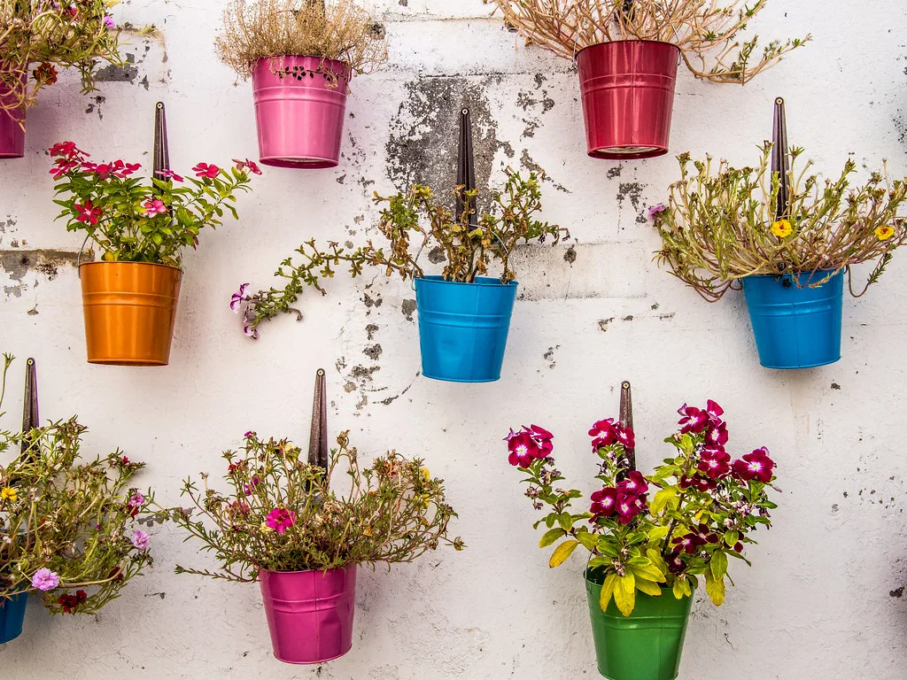
The old town core: squares, lanes and the Church of Panagia Evangelistria
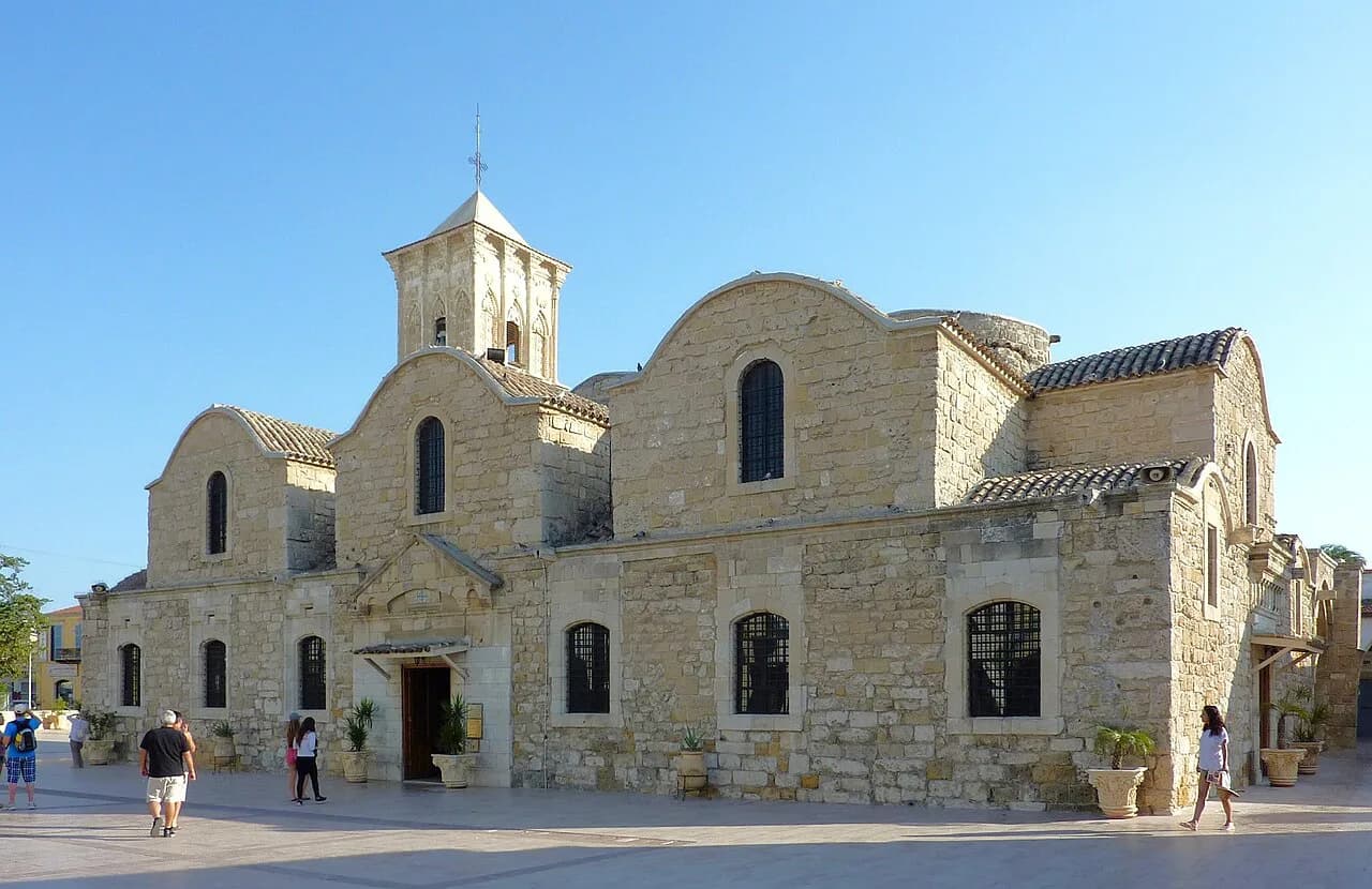
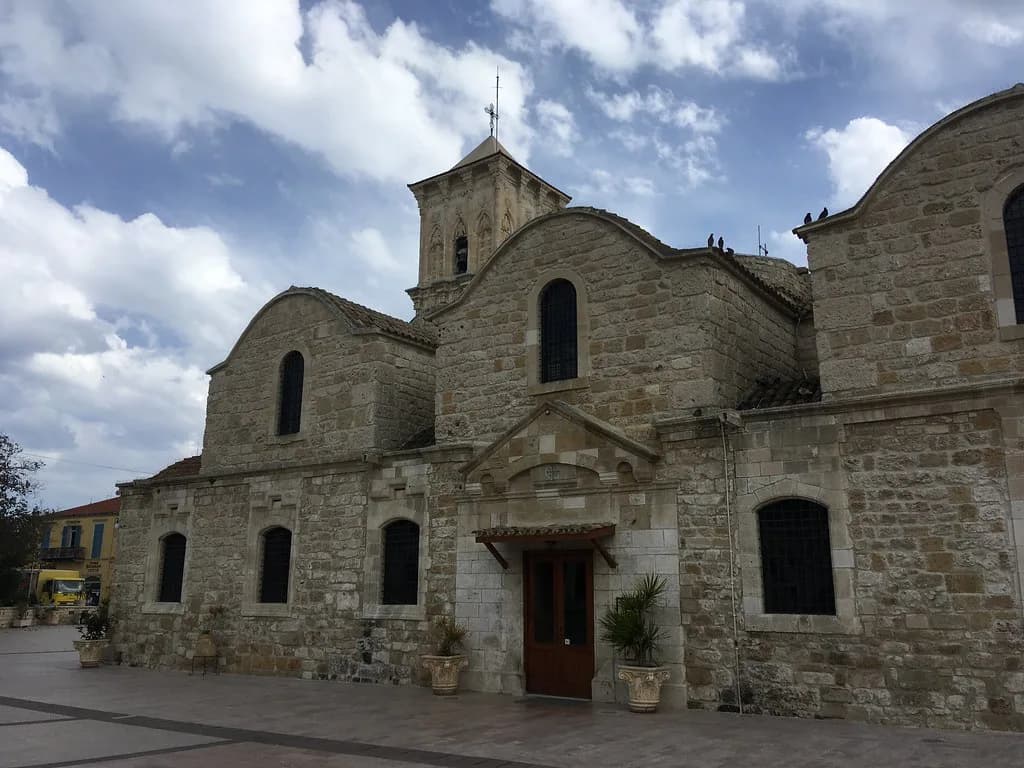
Start on foot in the old town, where the sights cluster tightly. The Church of Panagia Evangelistria is a recognisable anchor, with lanes and small squares radiating out from it. Wander without a fixed route and you will keep passing the same landmarks, which is the sign you have the layout right.
The old town rewards a slow loop rather than a checklist of pins. Expect narrow pavements, occasional scooters and shade that comes and goes with the buildings, so a hat matters more than a map. If you want a structured route through the lanes, the walking-tour guide below takes the guesswork out of the turns.
Pair the lanes with the town's museums, which give you shade and context in the middle of the day. Build the loop around the church, the squares and two or three collections, then head down to the water when the light softens in the afternoon.
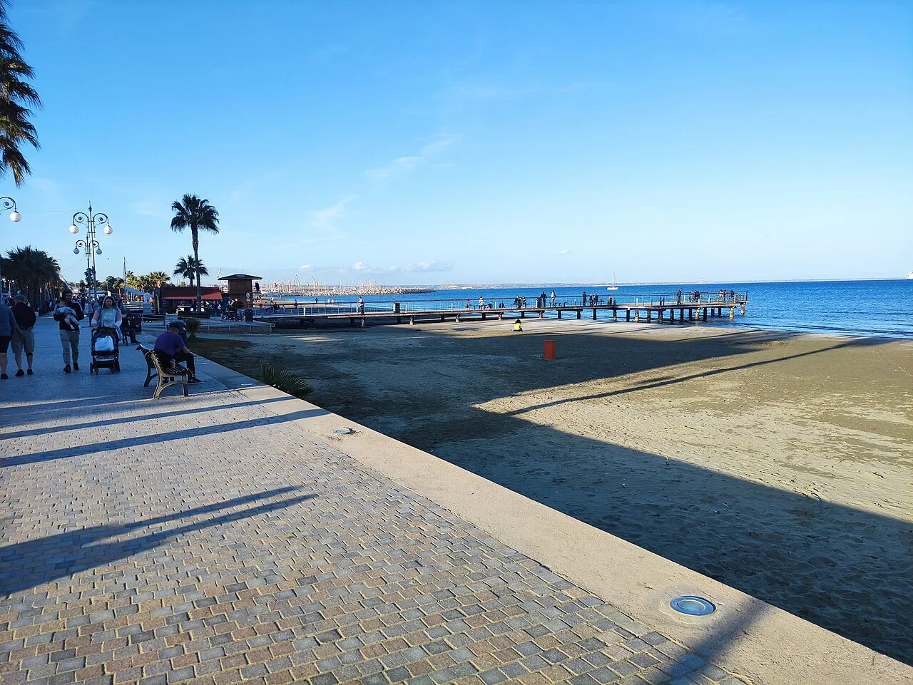
The seafront and harbour: what lines the waterfront
The seafront is the town's front room. Finikoudes runs along the bay with palms, a promenade and an open view of the water, and it connects to the old town on foot by heading inland from almost any point. Walk its length once and you will have the scale of Larnaca in your head.
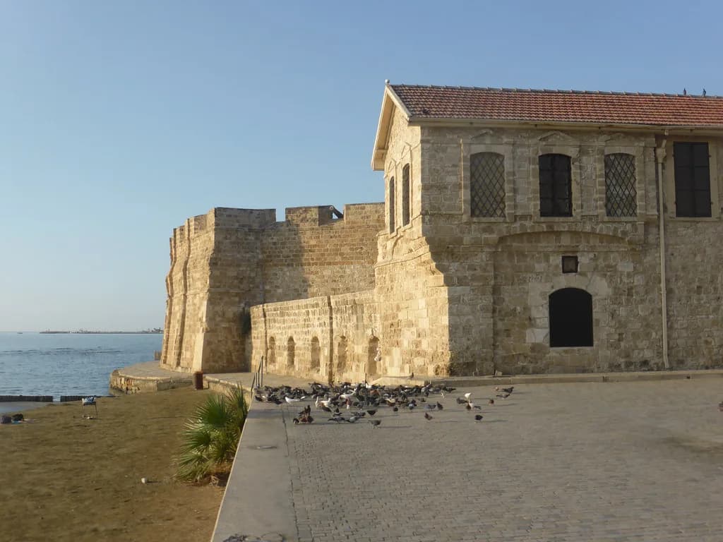
At the harbour end of the waterfront, Larnaca Marina marks where the promenade meets the working side of town. Treat the harbour and marina as fixed points on the map: find them and you can orient the whole seafront from there.
For a short break, the key insight is that the seafront and old town belong to one walkable centre rather than two destinations requiring transport. You can cross between them on foot, which lets a single day cover a stretch of both comfortably.
Ancient Kition and the archaeological sites
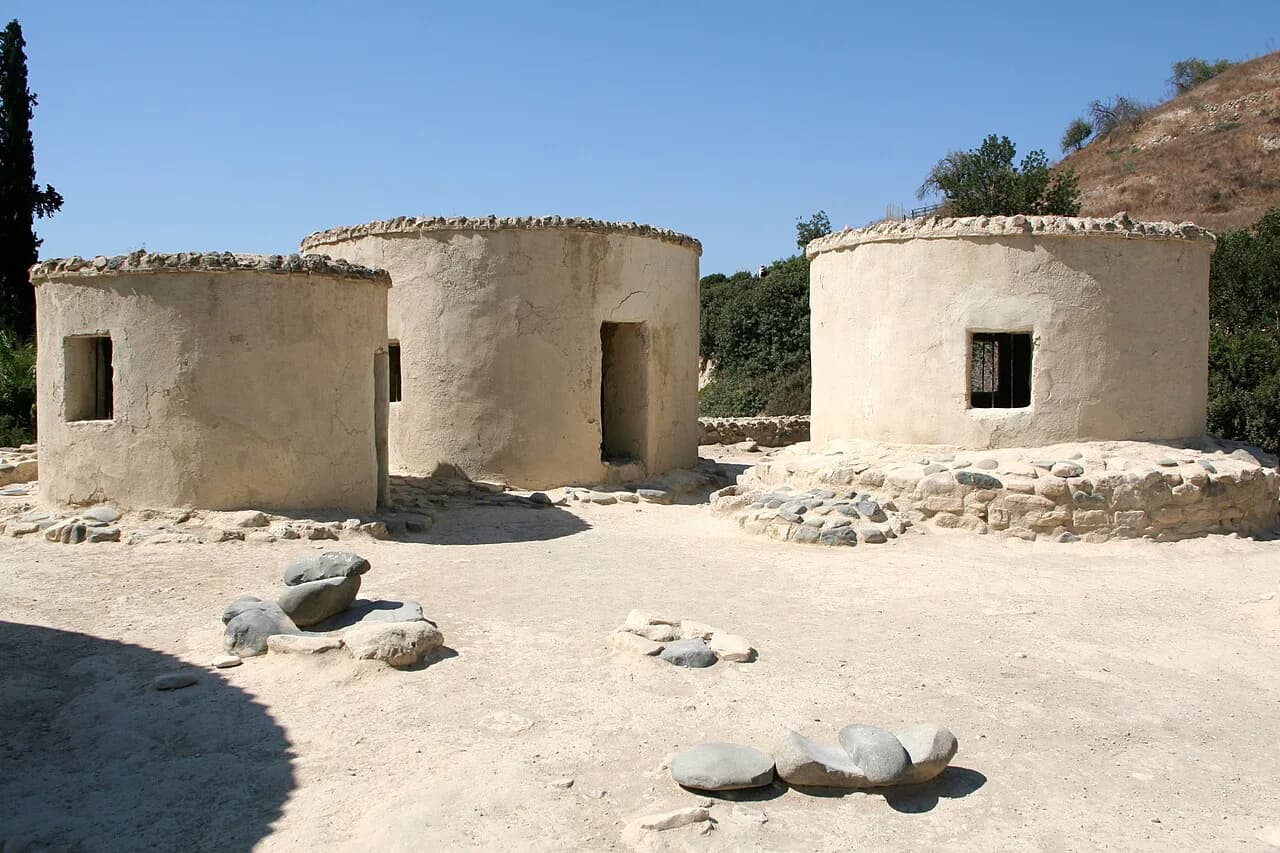
Ancient Kition is the archaeological site that surprises people who think of Larnaca only as a beach-and-airport town. Ancient Kitium's ruins lie within the town itself, so you can fold a site founded millennia ago into an ordinary day of walking.
Because the archaeology sits inside the urban grid rather than out in a field, it fits naturally into a walking day. Check current opening arrangements with the Department of Antiquities before you build a day around any single site.
Hala Sultan Tekke and the Salt Lake
Hala Sultan Tekke is the Larnaca landmark to plot as a separate westward excursion rather than a stop on the old-town loop, so give it its own slot in the day. It is one of the most recognisable landmarks on the edge of town.
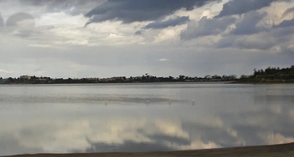
The Salt Lake itself is the flat, pale expanse between town and airport. Its birdlife is a cooler-month draw, and at the height of summer it reads as a shimmering salt pan. Either way it is the geographic feature that explains why Larnaca's airport is where it is.
The lake edge is at its best early, before the heat builds. Bring water and stay on the marked paths; the crust around the lake is fragile and muddy in places after rain.
Larnaca International Airport: where it sits
Larnaca International Airport is the island's main airport, sitting immediately next to the Salt Lake on the edge of town rather than in the centre. That position is why arrivals and departures feel so close to the coast: the lake, the runway and the sea all lie within a short band of each other.
The airport is also considerably larger than the island's other airport, which matters when you are choosing flights. If your plan is to explore the east of the island, Larnaca puts you on the right side of the map from the moment you arrive.
Paphos versus Larnaca: reading the island map
Cyprus divides into six districts, with Nicosia, the capital, on the northern side of the central area and the other five spread around it: Ammochostos, Keryneia, Lemesos, Pafos and Larnaca. Nicosia being inland and central is why it rarely features on a coastal itinerary, while Larnaca, Limassol and Paphos sit on the coast in a rough arc.
The airport choice is really a map question. Larnaca sits on the east side, making it the natural arrival point for Larnaca itself, Ayia Napa, Protaras and Famagusta. Paphos sits on the west, better placed for Paphos, Petra tou Romiou and the Troodos foothills. Pick the airport nearest your first and last nights, not the one with the cheapest-looking fare.
Nicosia, the capital, sits in the centre of the island, which makes it the pivot for any cross-island route. From Larnaca it is inland and north-west; from Paphos it is a long diagonal. Keep that in mind before committing to a day trip that crosses the island twice.
Larnaca and Larnaka: the same place, two spellings
You will see the town written both as Larnaca and as Larnaka. They are the same place, and the difference is a transliteration choice rather than a different town or district. Use whichever spelling your map app prefers, but search both when a pin refuses to appear.
This matters most when booking: a hotel, tour or ticket site may file the town under one spelling while your map uses the other. If a search comes up empty, try the alternative before assuming the listing does not exist.
Getting around without a car
Larnaca is genuinely walkable. The old town, seafront and Finikoudes sit within a continuous stretch of streets, so a car is a hindrance rather than a help for the centre. Parking in the old-town lanes is tight, and the seafront is better left to pedestrians.
For the Salt Lake, Hala Sultan Tekke and the airport, you will want wheels or a bus. Local buses and taxis cover these stretches. Confirm routes, times and fares locally, since these are the details most prone to seasonal change.
If you are planning around the heat, build your walking day around morning and evening and keep the middle of the day for shade, museums or a long lunch. The climate is typical Mediterranean, with hot, dry summers and mild winters.
Which part of Larnaca should you map first?
Start with the seafront. Finikoudes gives you the town's orientation in one straight line, with the old town inland and the harbour end within reach. Once you have walked it, the rest of Larnaca falls into place around it, and the old town, its archaeological sites and even the Salt Lake become short, confident detours rather than unknowns.
If you have a car, use the centre as your base and drive west for the Salt Lake and Hala Sultan Tekke, keeping the airport as a marker rather than a destination. If you are on foot, treat the centre as one loop and take a bus or taxi for the western edge. Either way, searching both Larnaca and Larnaka will save you a lost pin.
Explore more Larnaca guides
Frequently Asked Questions
Is it better to fly into Paphos or Larnaca?
It depends on where you are staying. Larnaca sits on the east side of Cyprus, so it is the natural arrival point for Larnaca, Ayia Napa, Protaras and Famagusta. Paphos sits on the west and suits Paphos, Petra tou Romiou and the Troodos foothills. Choose the airport closest to your first and last nights.
Are Larnaka and Larnaca the same place?
Yes. Larnaca and Larnaka are two transliterations of the same town. Booking sites and map apps may use either one, so search both if a pin does not appear.
Where is Nicosia on the map of Cyprus?
Nicosia is the capital and sits inland in the northern part of central Cyprus. Larnaca is on the east coast, south-west of Famagusta and north-east of Vasilikos. Nicosia's central position makes it the pivot for any cross-island route.
What counts as the centre of Larnaca?
The town splits into two connected halves: the inland old town and the Finikoudes seafront below it. Both are walkable and close enough to treat as one centre.
Sources
Notes for your Cyprus trip
Optional updates to our Cyprus guides.
You might also like
Continue reading
More guides you'll find useful